Rodez night lights from space
Night Light of Rodez (Occitanie) from space (France) Src. Average luminocity for 10x10km area is 35.1667% and for 50x50km: 3.4505%.
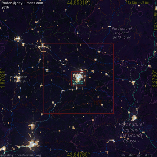
Analysis of Rodez night lights 2016
Square area 10x10 km:
 5.87%
5.87%90-99
9.21%80-89
5.08%70-79
0.79%60-69
2.54%50-59
5.56%40-49
1.43%30-39
5.4%20-29
8.41%10-19
39.52%0-9
16.19%Square area 50x50 km:
0.28%90-99
0.59%80-89
0.44%70-79
0.16%60-69
0.41%50-59
0.63%40-49
0.49%30-39
0.79%20-29
0.85%10-19
2.37%0-9
93%Clear (daylight) street map image can be seen on geolist.org.
Map coordinates:
44° 51' 11.5" North, 1° 52' 12.9" East
44° 21' 9.3" North, 2° 34' 24.2" East
43° 50' 51.5" North, 3° 16' 35.4" East
Some cities around Rodez sort by population:
• Millau
49.2 km =30.6 mi,  125°
125°
• Villefranche-de-Rouergue
42.6 km =26.5 mi,  269°
269°
• Figeac
51.5 km =32 mi,  303°
303°
• Carmaux
47.1 km =29.3 mi,  224°
224°
• Saint-Affrique
50.8 km =31.6 mi,  150°
150°
• Decazeville
34.5 km =21.4 mi,  312°
312°
• Saint-Juéry
53 km =32.9 mi,  212°
212°
• Luc-la-Primaube
5.2 km =3.2 mi, 215°
2983154 (p: 28,337)
Sources (retrieved 2019-11-25):
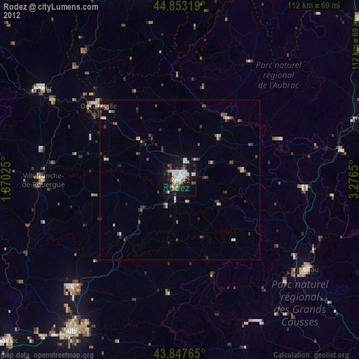
» Earth at Night: Flat Maps 2012, 2016