Saint-Affrique night lights from space
Night Light of Saint-Affrique (Occitanie) from space (France) Src. Average luminocity for 10x10km area is 6.9365% and for 50x50km: 1.6381%.
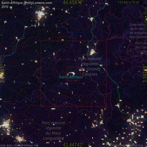
Analysis of Saint-Affrique night lights 2016
Square area 10x10 km:
 0.63%
0.63%90-99
1.9%80-89
0.63%70-79
0.63%60-69
1.27%50-59
0.95%40-49
0.95%30-39
0.48%20-29
0.79%10-19
0%0-9
91.75%Square area 50x50 km:
0.06%90-99
0.21%80-89
0.17%70-79
0.19%60-69
0.32%50-59
0.31%40-49
0.43%30-39
0.19%20-29
0.38%10-19
0.34%0-9
97.4%Clear (daylight) street map image can be seen on geolist.org.
Map coordinates:
44° 27' 35.1" North, 2° 11' 9.7" East
43° 57' 20.7" North, 2° 53' 20.9" East
43° 26' 50.7" North, 3° 35' 32.2" East
Some cities around Saint-Affrique sort by population:
• Albi
59.4 km =36.9 mi,  267°
267°
• Rodez
50.8 km =31.6 mi,  330°
330°
• Millau
21.8 km =13.5 mi,  43°
43°
• Carmaux
59.4 km =36.9 mi,  280°
280°
• Lodève
42.6 km =26.5 mi,  125°
125°
• Bédarieux
43.5 km =27 mi,  150°
150°
• Luc-la-Primaube
48.9 km =30.4 mi,  324°
324°
• Gignac
62.9 km =39.1 mi,  122°
122°
2981925 (p: 8,548)
Sources (retrieved 2019-11-25):
» Earth at Night: Flat Maps 2012, 2016