Arpajon-sur-Cère night lights from space
Night Light of Arpajon-sur-Cère (Auvergne-Rhône-Alpes) from space (France) Src. Average luminocity for 10x10km area is 25.1079% and for 50x50km: 2.2763%.
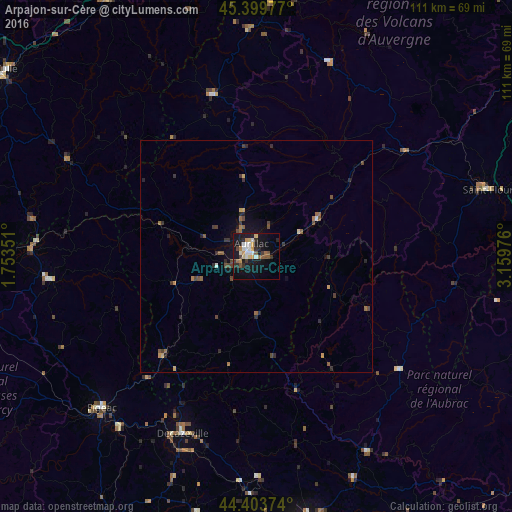
Analysis of Arpajon-sur-Cère night lights 2016
Square area 10x10 km:
 4.13%
4.13%90-99
4.13%80-89
2.38%70-79
3.97%60-69
1.75%50-59
3.02%40-49
2.86%30-39
3.65%20-29
4.76%10-19
28.41%0-9
40.95%Square area 50x50 km:
0.17%90-99
0.2%80-89
0.18%70-79
0.31%60-69
0.31%50-59
0.4%40-49
0.57%30-39
0.49%20-29
0.65%10-19
1.64%0-9
95.09%Clear (daylight) street map image can be seen on geolist.org.
Map coordinates:
45° 23' 59.2" North, 1° 45' 12.6" East
44° 54' 14.1" North, 2° 27' 23.9" East
44° 24' 13.5" North, 3° 9' 35.1" East
Some cities around Arpajon-sur-Cère sort by population:
• Aurillac
2.7 km =1.7 mi,  331°
331°
• Rodez
62 km =38.5 mi,  171°
171°
• Tulle
67.1 km =41.7 mi,  306°
306°
• Figeac
46.9 km =29.1 mi,  225°
225°
• Saint-Flour
52.1 km =32.4 mi,  73°
73°
• Decazeville
41.5 km =25.8 mi,  203°
203°
• Égletons
64.5 km =40.1 mi, 329°
• Luc-la-Primaube
65.8 km =40.9 mi, 174°
3036822 (p: 5,744)
Sources (retrieved 2019-11-25):
» Earth at Night: Flat Maps 2012, 2016