Saint-Flour night lights from space
Night Light of Saint-Flour (Auvergne-Rhône-Alpes) from space (France) Src. Average luminocity for 10x10km area is 6.1016% and for 50x50km: 0.6266%.
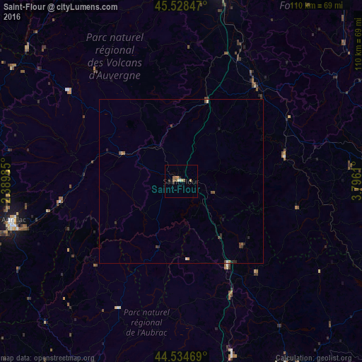
Analysis of Saint-Flour night lights 2016
Square area 10x10 km:
 0.16%
0.16%90-99
0.48%80-89
1.27%70-79
1.27%60-69
1.9%50-59
1.11%40-49
0.16%30-39
0.95%20-29
0.95%10-19
0%0-9
91.75%Square area 50x50 km:
0.02%90-99
0.05%80-89
0.07%70-79
0.12%60-69
0.1%50-59
0.11%40-49
0.19%30-39
0.09%20-29
0.28%10-19
0.05%0-9
98.9%Clear (daylight) street map image can be seen on geolist.org.
Map coordinates:
45° 31' 42.5" North, 2° 23' 23.5" East
45° 2' 1.5" North, 3° 5' 34.7" East
44° 32' 4.9" North, 3° 47' 46" East
Some cities around Saint-Flour sort by population:
• Aurillac
52.8 km =32.8 mi,  256°
256°
• Le Puy-en-Velay
62.3 km =38.7 mi,  88°
88°
• Issoire
58.1 km =36.1 mi,  12°
12°
• Mende
65.8 km =40.9 mi,  150°
150°
• Ambert
76.6 km =47.6 mi,  41°
41°
• Brioude
36.9 km =22.9 mi, 38°
• Marvejols
55.6 km =34.5 mi,  163°
163°
• Arpajon-sur-Cère
52.1 km =32.4 mi,  253°
253°
2980104 (p: 7,499)
Sources (retrieved 2019-11-25):
» Earth at Night: Flat Maps 2012, 2016