Luxeuil-les-Bains night lights from space
Night Light of Luxeuil-les-Bains (Bourgogne-Franche-Comté) from space (France) Src. Average luminocity for 10x10km area is 15.7917% and for 50x50km: 3.8014%.
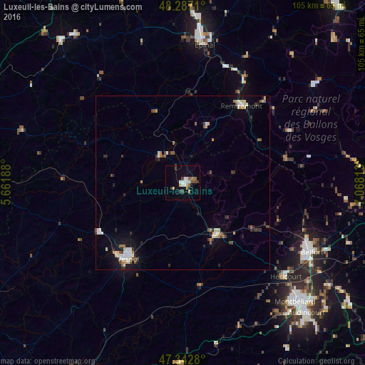
Analysis of Luxeuil-les-Bains night lights 2016
Square area 10x10 km:
 2.08%
2.08%90-99
3.27%80-89
0.6%70-79
1.49%60-69
2.08%50-59
2.08%40-49
3.57%30-39
1.79%20-29
0%10-19
7.29%0-9
75.74%Square area 50x50 km:
0.5%90-99
0.68%80-89
0.39%70-79
0.32%60-69
0.48%50-59
0.44%40-49
0.48%30-39
0.56%20-29
0.55%10-19
2.14%0-9
93.46%Clear (daylight) street map image can be seen on geolist.org.
Map coordinates:
48° 17' 13.6" North, 5° 39' 42.8" East
47° 49' 1.6" North, 6° 21' 54" East
47° 20' 34.1" North, 7° 4' 5.3" East
Some cities around Luxeuil-les-Bains sort by population:
• Belfort
41.4 km =25.7 mi,  118°
118°
• Épinal
41.2 km =25.6 mi,  9°
9°
• Vesoul
27 km =16.8 mi,  218°
218°
• Héricourt
40.2 km =25 mi,  132°
132°
• Lure
17.9 km =11.1 mi,  146°
146°
• Remiremont
27.8 km =17.3 mi,  36°
36°
• La Bresse
42.4 km =26.3 mi,  61°
61°
• Valdoie
39.2 km =24.4 mi,  114°
114°
2996995 (p: 9,200)
Sources (retrieved 2019-11-25):
» Earth at Night: Flat Maps 2012, 2016