Belfort night lights from space
Night Light of Belfort (Bourgogne-Franche-Comté) from space (France) Src. Average luminocity for 10x10km area is 43.6086% and for 50x50km: 11.8742%.
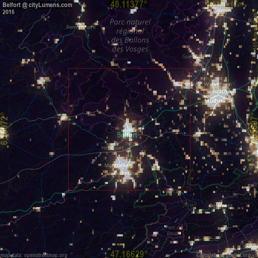
Analysis of Belfort night lights 2016
Square area 10x10 km:
 11.61%
90-99
10.42%80-89
2.98%70-79
2.23%60-69
2.08%50-59
5.21%40-49
3.57%30-39
5.21%20-29
22.02%10-19
31.7%0-9
2.98%Square area 50x50 km:
1.8%90-99
1.99%80-89
1%70-79
0.92%60-69
0.97%50-59
1.47%40-49
1.95%30-39
2.2%20-29
4.72%10-19
9.05%0-9
73.93%Clear (daylight) street map image can be seen on geolist.org.
Map coordinates:
48° 6' 49.6" North, 6° 9' 2.6" East
47° 38' 31.8" North, 6° 51' 13.9" East
47° 9' 58.6" North, 7° 33' 25.1" East
Some cities around Belfort sort by population:
• Montbéliard
15.3 km =9.5 mi,  195°
195°
• Audincourt
17.7 km =11 mi,  180°
180°
• Héricourt
10.4 km =6.5 mi,  222°
222°
• Bethoncourt
12.5 km =7.8 mi, 197°
• Delle
18.5 km =11.5 mi,  143°
143°
• Beaucourt
17.8 km =11.1 mi,  163°
163°
• Grand-Charmont
13 km =8.1 mi,  189°
189°
• Valdoie
3.3 km =2.1 mi,  344°
344°
3033791 (p: 54,562)
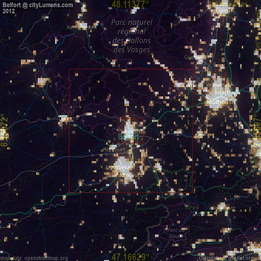
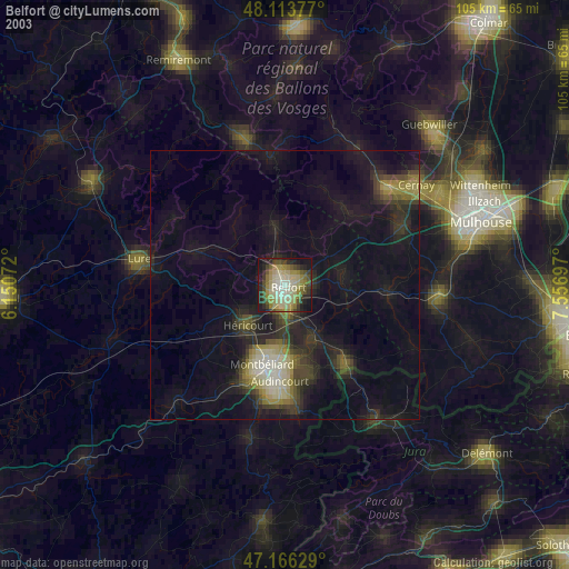
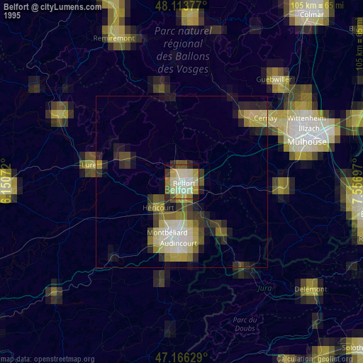
Sources (retrieved 2019-11-25):
» NASA, Earths city lights 1995
» NASA city lights 2003
» Earth at Night: Flat Maps 2012, 2016