Épinal night lights from space
Night Light of Épinal (Grand Est) from space (France) Src. Average luminocity for 10x10km area is 28.0923% and for 50x50km: 4.2983%.
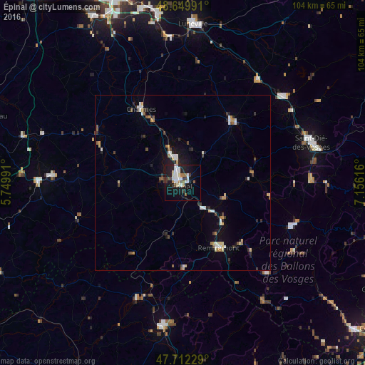
Analysis of Épinal night lights 2016
Square area 10x10 km:
 7.14%
7.14%90-99
5.95%80-89
2.38%70-79
0.15%60-69
3.57%50-59
2.98%40-49
1.34%30-39
3.27%20-29
4.91%10-19
30.36%0-9
37.95%Square area 50x50 km:
0.67%90-99
0.68%80-89
0.44%70-79
0.4%60-69
0.42%50-59
0.44%40-49
0.43%30-39
0.62%20-29
0.93%10-19
2.67%0-9
92.3%Clear (daylight) street map image can be seen on geolist.org.
Map coordinates:
48° 38' 59.7" North, 5° 44' 59.7" East
48° 10' 59.7" North, 6° 27' 10.9" East
47° 42' 44.2" North, 7° 9' 22.2" East
Some cities around Épinal sort by population:
• Gérardmer
33.8 km =21 mi,  111°
111°
• Remiremont
21 km =13 mi,  151°
151°
• Golbey
1.9 km =1.2 mi,  328°
328°
• Thaon-les-Vosges
7.9 km =4.9 mi,  340°
340°
• Mirecourt
27.1 km =16.8 mi,  298°
298°
• Rambervillers
22.3 km =13.9 mi,  37°
37°
• Vittel
37.5 km =23.3 mi,  272°
272°
• La Bresse
36.8 km =22.9 mi,  123°
123°
3020035 (p: 39,518)
Sources (retrieved 2019-11-25):
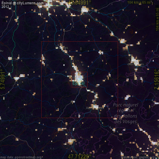
» Earth at Night: Flat Maps 2012, 2016