Lomme night lights from space
Night Light of Lomme (Hauts-de-France) from space (France) Src. Average luminocity for 10x10km area is 79.6818% and for 50x50km: 48.8309%.
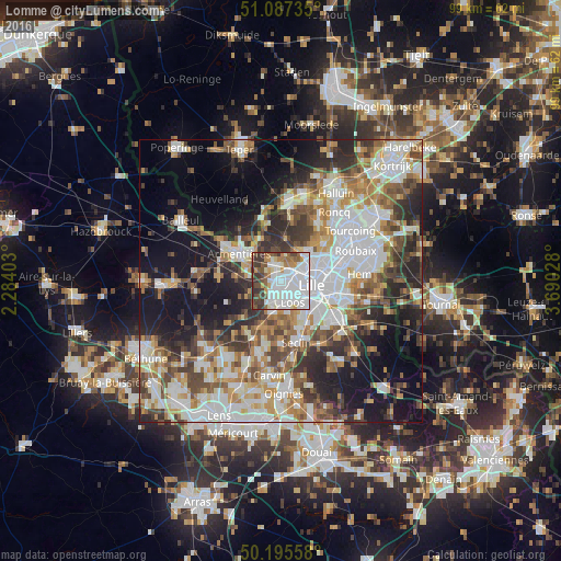
Analysis of Lomme night lights 2016
Square area 10x10 km:
 36.36%
90-99
20.05%80-89
4.28%70-79
6.42%60-69
4.81%50-59
9.22%40-49
6.28%30-39
11.76%20-29
0.8%10-19
0%0-9
0%Square area 50x50 km:
12.61%90-99
10.4%80-89
4.29%70-79
5.96%60-69
6.57%50-59
6.3%40-49
6.75%30-39
6.63%20-29
9.5%10-19
15.95%0-9
15.03%Clear (daylight) street map image can be seen on geolist.org.
Map coordinates:
51° 5' 14.5" North, 2° 17' 2.5" East
50° 38' 36.9" North, 2° 59' 13.7" East
50° 11' 44.1" North, 3° 41' 25" East
Some cities around Lomme sort by population:
• Lille
5.2 km =3.2 mi,  103°
103°
• Lambersart
3.3 km =2.1 mi,  77°
77°
• Loos
4.4 km =2.7 mi,  149°
149°
• Haubourdin
3.9 km =2.4 mi,  175°
175°
• Saint-André-lez-Lille
5.1 km =3.2 mi,  59°
59°
• Wambrechies
6.1 km =3.8 mi,  44°
44°
• Pérenchies
3.2 km =2 mi,  338°
338°
• Santes
5.9 km =3.7 mi,  196°
196°
2997803 (p: 29,892)
Sources (retrieved 2019-11-25):
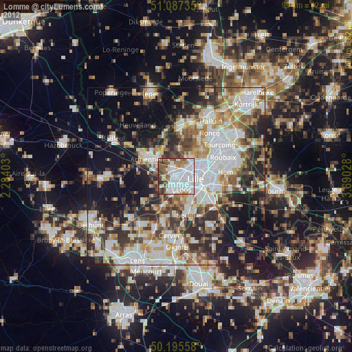
» Earth at Night: Flat Maps 2012, 2016