Lille night lights from space
Night Light of Lille (Hauts-de-France) from space (France) Src. Average luminocity for 10x10km area is 96.2406% and for 50x50km: 49.7992%.
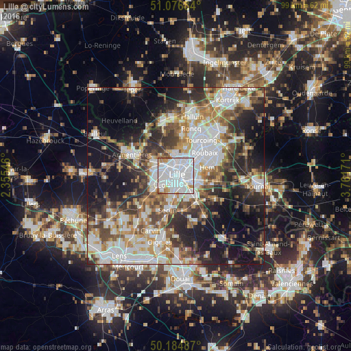
Analysis of Lille night lights 2016
Square area 10x10 km:
 65.64%
90-99
22.33%80-89
2.41%70-79
4.81%60-69
3.88%50-59
0.94%40-49
0%30-39
0%20-29
0%10-19
0%0-9
0%Square area 50x50 km:
12.98%90-99
10.58%80-89
4.34%70-79
5.83%60-69
6.43%50-59
6.39%40-49
6.91%30-39
6.86%20-29
10.41%10-19
17.02%0-9
12.24%Clear (daylight) street map image can be seen on geolist.org.
Map coordinates:
51° 4' 36.6" North, 2° 21' 19.7" East
50° 37' 58.7" North, 3° 3' 30.9" East
50° 11' 5.5" North, 3° 45' 42.2" East
Some cities around Lille sort by population:
• Marcq-en-Barœul
4.1 km =2.5 mi,  24°
24°
• Lambersart
2.6 km =1.6 mi,  316°
316°
• La Madeleine
1.9 km =1.2 mi,  39°
39°
• Mons-en-Barœul
4.1 km =2.5 mi,  89°
89°
• Loos
3.8 km =2.4 mi,  227°
227°
• Ronchin
4.4 km =2.7 mi,  149°
149°
• Saint-André-lez-Lille
3.8 km =2.4 mi,  350°
350°
• Marquette-lez-Lille
4.8 km =3 mi,  6°
6°
2998324 (p: 228,328)
Sources (retrieved 2019-11-25):
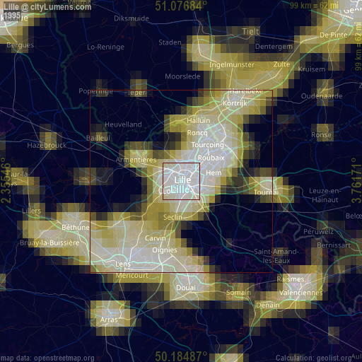
» NASA, Earths city lights 1995
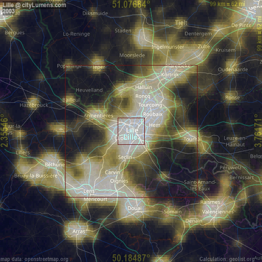
» NASA city lights 2003
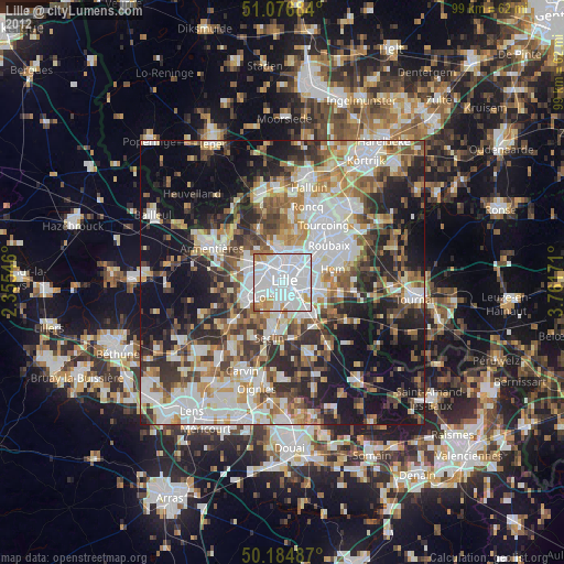
» Earth at Night: Flat Maps 2012, 2016