Santes night lights from space
Night Light of Santes (Hauts-de-France) from space (France) Src. Average luminocity for 10x10km area is 66.7513% and for 50x50km: 51.0175%.
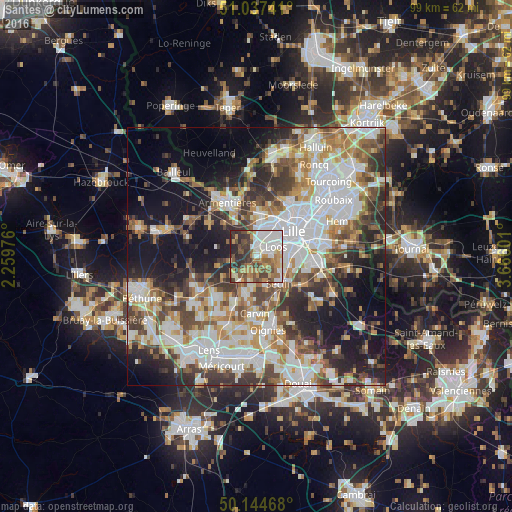
Analysis of Santes night lights 2016
Square area 10x10 km:
 16.04%
90-99
14.57%80-89
5.08%70-79
10.16%60-69
11.36%50-59
11.5%40-49
11.36%30-39
11.63%20-29
7.89%10-19
0.4%0-9
0%Square area 50x50 km:
13.58%90-99
11.43%80-89
4.4%70-79
5.78%60-69
6.68%50-59
6.17%40-49
7.02%30-39
7.54%20-29
9.56%10-19
15.48%0-9
12.35%Clear (daylight) street map image can be seen on geolist.org.
Map coordinates:
51° 2' 14.7" North, 2° 15' 35.1" East
50° 35' 35.4" North, 2° 57' 46.4" East
50° 8' 40.8" North, 3° 39' 57.6" East
Some cities around Santes sort by population:
• Lomme
5.9 km =3.7 mi,  16°
16°
• Loos
4.4 km =2.7 mi,  64°
64°
• Faches-Thumesnil
7.4 km =4.6 mi,  98°
98°
• Haubourdin
2.6 km =1.6 mi,  50°
50°
• Wattignies
5.8 km =3.6 mi, 97°
• Seclin
6.7 km =4.2 mi,  137°
137°
• Wavrin
2.9 km =1.8 mi,  221°
221°
• Sainghin-en-Weppes
5.6 km =3.5 mi,  234°
234°
2976108 (p: 5,069)
Sources (retrieved 2019-11-25):
» Earth at Night: Flat Maps 2012, 2016