Marcq-en-Barœul night lights from space
Night Light of Marcq-en-Barœul (Hauts-de-France) from space (France) Src. Average luminocity for 10x10km area is 92.6898% and for 50x50km: 47.7416%.
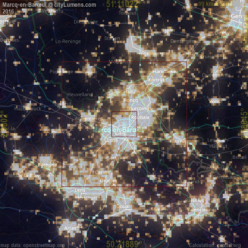
Analysis of Marcq-en-Barœul night lights 2016
Square area 10x10 km:
 63.5%
63.5%90-99
16.98%80-89
3.74%70-79
6.15%60-69
1.87%50-59
2.81%40-49
2.67%30-39
2.14%20-29
0.13%10-19
0%0-9
0%Square area 50x50 km:
11.66%90-99
9.34%80-89
4.19%70-79
5.82%60-69
6.47%50-59
6.82%40-49
7.23%30-39
7.16%20-29
10.86%10-19
16.55%0-9
13.92%Clear (daylight) street map image can be seen on geolist.org.
Map coordinates:
51° 6' 36.8" North, 2° 22' 48.7" East
50° 40' 0" North, 3° 4' 60" East
50° 13' 8" North, 3° 47' 11.2" East
Some cities around Marcq-en-Barœul sort by population:
• Lille
4.1 km =2.5 mi,  204°
204°
• Lambersart
4 km =2.5 mi,  242°
242°
• La Madeleine
2.4 km =1.5 mi,  192°
192°
• Wasquehal
3.6 km =2.2 mi,  83°
83°
• Bondues
4 km =2.5 mi,  11°
11°
• Saint-André-lez-Lille
2.3 km =1.4 mi,  270°
270°
• Marquette-lez-Lille
1.6 km =1 mi,  311°
311°
• Wambrechies
3.1 km =1.9 mi, 305°
2995908 (p: 38,629)
Sources (retrieved 2019-11-25):
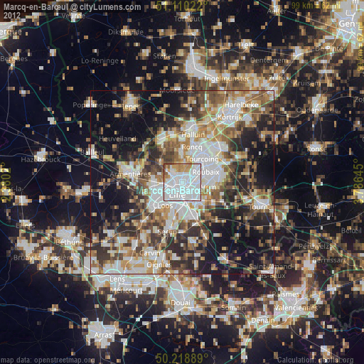
» Earth at Night: Flat Maps 2012, 2016