Neuilly-sur-Marne night lights from space
Night Light of Neuilly-sur-Marne (Île-de-France) from space (France) Src. Average luminocity for 10x10km area is 96.8537% and for 50x50km: 64.7294%.
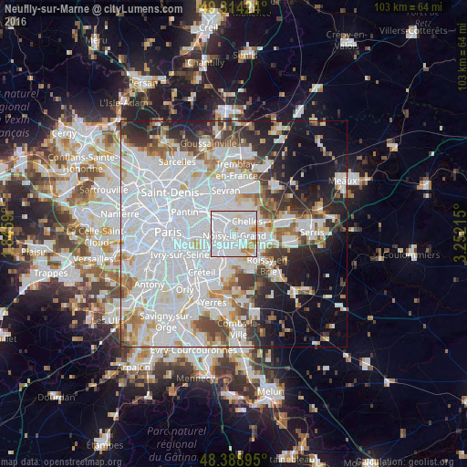
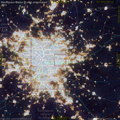
Analysis of Neuilly-sur-Marne night lights 2016
Square area 10x10 km:
 64.77%
90-99
24.57%80-89
4.12%70-79
3.41%60-69
3.13%50-59
0%40-49
0%30-39
0%20-29
0%10-19
0%0-9
0%Square area 50x50 km:
31.66%90-99
15.26%80-89
4.03%70-79
3.84%60-69
4.45%50-59
3.87%40-49
4.2%30-39
4.52%20-29
6.55%10-19
9.33%0-9
12.27%Clear (daylight) street map image can be seen on geolist.org.
Map coordinates:
49° 18' 51.3" North, 1° 50' 45.2" East
48° 51' 13.4" North, 2° 32' 56.5" East
48° 23' 20.2" North, 3° 15' 7.7" East
Some cities around Neuilly-sur-Marne sort by population:
• Noisy-le-Grand
1.1 km =0.7 mi,  113°
113°
• Rosny-sous-Bois
4.1 km =2.5 mi,  296°
296°
• Gagny
3.5 km =2.2 mi,  340°
340°
• Le Perreux-sur-Marne
3.6 km =2.2 mi,  263°
263°
• Villiers-sur-Marne
2.5 km =1.6 mi,  180°
180°
• Champs-sur-Marne
3.8 km =2.4 mi,  96°
96°
• Bry-sur-Marne
2.5 km =1.6 mi,  225°
225°
• Gournay-sur-Marne
2.8 km =1.7 mi,  69°
69°
2990612 (p: 34,465)
Sources (retrieved 2019-11-25):
» Earth at Night: Flat Maps 2012, 2016