Villemomble night lights from space
Night Light of Villemomble (Île-de-France) from space (France) Src. Average luminocity for 10x10km area is 99.1548% and for 50x50km: 67.4841%.
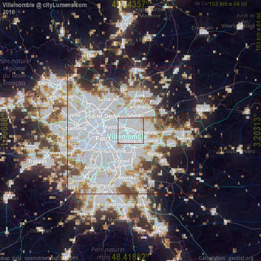
Analysis of Villemomble night lights 2016
Square area 10x10 km:
 80.82%
90-99
15.63%80-89
2.98%70-79
0.57%60-69
0%50-59
0%40-49
0%30-39
0%20-29
0%10-19
0%0-9
0%Square area 50x50 km:
32.9%90-99
15.85%80-89
4.34%70-79
4.07%60-69
4.89%50-59
4.12%40-49
4.35%30-39
4.54%20-29
6.62%10-19
10.68%0-9
7.65%Clear (daylight) street map image can be seen on geolist.org.
Map coordinates:
49° 20' 36.9" North, 1° 47' 48.8" East
48° 52' 60" North, 2° 30' 0" East
48° 25' 7.8" North, 3° 12' 11.3" East
Some cities around Villemomble sort by population:
• Fontenay-sous-Bois
3.5 km =2.2 mi,  201°
201°
• Bondy
2.2 km =1.4 mi,  339°
339°
• Rosny-sous-Bois
1.5 km =0.9 mi,  182°
182°
• Noisy-le-Sec
2.7 km =1.7 mi,  289°
289°
• Gagny
2.4 km =1.5 mi,  90°
90°
• Les Pavillons-sous-Bois
2.7 km =1.7 mi,  10°
10°
• Neuilly-Plaisance
2.3 km =1.4 mi,  168°
168°
• Le Raincy
2.4 km =1.5 mi,  43°
43°
2968653 (p: 28,001)
Sources (retrieved 2019-11-25):
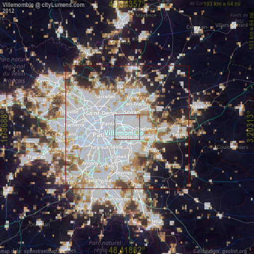
» Earth at Night: Flat Maps 2012, 2016