L'Haÿ-les-Roses night lights from space
Night Light of L'Haÿ-les-Roses (Île-de-France) from space (France) Src. Average luminocity for 10x10km area is 99.5625% and for 50x50km: 75.8688%.
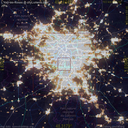
Analysis of L'Haÿ-les-Roses night lights 2016
Square area 10x10 km:
 78.69%
90-99
20.6%80-89
0.71%70-79
0%60-69
0%50-59
0%40-49
0%30-39
0%20-29
0%10-19
0%0-9
0%Square area 50x50 km:
36.15%90-99
19.34%80-89
5.52%70-79
5.22%60-69
5.8%50-59
4.61%40-49
6.08%30-39
5.14%20-29
4.14%10-19
2.92%0-9
5.08%Clear (daylight) street map image can be seen on geolist.org.
Map coordinates:
49° 14' 40.2" North, 1° 37' 48.7" East
48° 46' 60" North, 2° 19' 60" East
48° 19' 4.4" North, 3° 2' 11.2" East
Some cities around L'Haÿ-les-Roses sort by population:
• Villejuif
2.3 km =1.4 mi,  58°
58°
• Bagneux
2.3 km =1.4 mi,  306°
306°
• Cachan
1.5 km =0.9 mi,  9°
9°
• Fresnes
3.2 km =2 mi,  194°
194°
• Sceaux
3.2 km =2 mi,  256°
256°
• Chevilly-Larue
2.4 km =1.5 mi,  148°
148°
• Bourg-la-Reine
1.2 km =0.7 mi,  246°
246°
• Arcueil
1.8 km =1.1 mi,  358°
358°
2998632 (p: 29,703)
Sources (retrieved 2019-11-25):
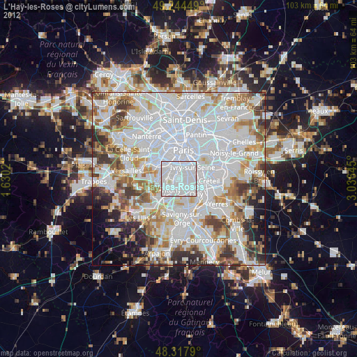
» Earth at Night: Flat Maps 2012, 2016