Bobigny night lights from space
Night Light of Bobigny (Île-de-France) from space (France) Src. Average luminocity for 10x10km area is 99.4645% and for 50x50km: 68.7827%.
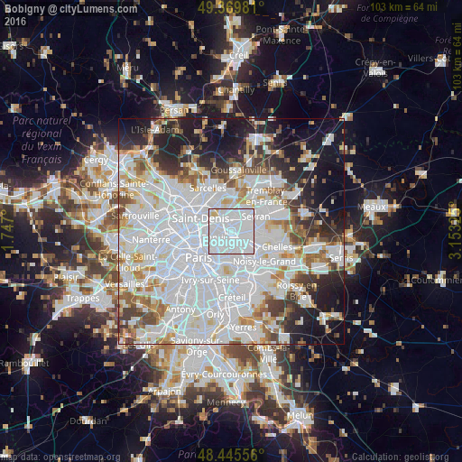
Analysis of Bobigny night lights 2016
Square area 10x10 km:
 87.5%
87.5%90-99
10.23%80-89
2.27%70-79
0%60-69
0%50-59
0%40-49
0%30-39
0%20-29
0%10-19
0%0-9
0%Square area 50x50 km:
33.08%90-99
16.51%80-89
4.67%70-79
4.26%60-69
4.84%50-59
4.25%40-49
4.16%30-39
4.76%20-29
6.83%10-19
11.69%0-9
4.95%Clear (daylight) street map image can be seen on geolist.org.
Map coordinates:
49° 22' 11.3" North, 1° 44' 49.2" East
48° 54' 35.4" North, 2° 27' 0.4" East
48° 26' 44" North, 3° 9' 11.7" East
Some cities around Bobigny sort by population:
• Drancy
1.8 km =1.1 mi,  348°
348°
• Pantin
3.4 km =2.1 mi,  240°
240°
• Bondy
3 km =1.9 mi,  107°
107°
• Le Blanc-Mesnil
3.3 km =2.1 mi,  14°
14°
• Noisy-le-Sec
2.3 km =1.4 mi,  152°
152°
• Romainville
2.9 km =1.8 mi,  202°
202°
• Les Lilas
4 km =2.5 mi,  213°
213°
• Le Bourget
2.9 km =1.8 mi,  338°
338°
3032179 (p: 44,962)
Sources (retrieved 2019-11-25):
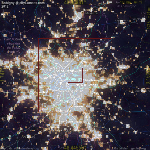
» Earth at Night: Flat Maps 2012, 2016