La Tronche night lights from space
Night Light of La Tronche (Auvergne-Rhône-Alpes) from space (France) Src. Average luminocity for 10x10km area is 66.8485% and for 50x50km: 12.0155%.
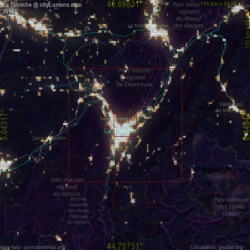
Analysis of La Tronche night lights 2016
Square area 10x10 km:
 29.09%
90-99
16.97%80-89
2.27%70-79
3.33%60-69
5.15%50-59
4.39%40-49
4.7%30-39
11.21%20-29
17.42%10-19
5.45%0-9
0%Square area 50x50 km:
2.11%90-99
2.03%80-89
0.97%70-79
1.1%60-69
1.11%50-59
1.75%40-49
1.45%30-39
2.41%20-29
3.66%10-19
8.65%0-9
74.78%Clear (daylight) street map image can be seen on geolist.org.
Map coordinates:
45° 41' 53.9" North, 5° 2' 35.4" East
45° 12' 18.3" North, 5° 44' 46.6" East
44° 42' 27" North, 6° 26' 57.9" East
Some cities around La Tronche sort by population:
• Grenoble
3.8 km =2.4 mi,  220°
220°
• Saint-Martin-d’Hères
3.2 km =2 mi,  156°
156°
• Fontaine
4.8 km =3 mi,  253°
253°
• Meylan
2.5 km =1.6 mi,  77°
77°
• Saint-Égrève
6 km =3.7 mi,  301°
301°
• Seyssinet-Pariset
5.2 km =3.2 mi,  232°
232°
• Gières
4.4 km =2.7 mi,  129°
129°
• Saint-Martin-le-Vinoux
2.4 km =1.5 mi,  264°
264°
3006131 (p: 7,125)
Sources (retrieved 2019-11-25):
» Earth at Night: Flat Maps 2012, 2016