Seyssinet-Pariset night lights from space
Night Light of Seyssinet-Pariset (Auvergne-Rhône-Alpes) from space (France) Src. Average luminocity for 10x10km area is 69.7318% and for 50x50km: 11.7789%.
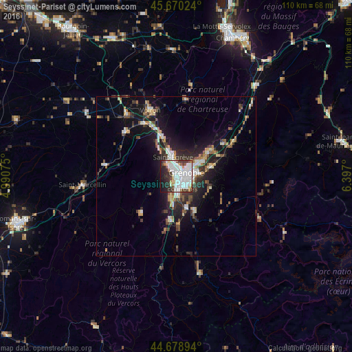
Analysis of Seyssinet-Pariset night lights 2016
Square area 10x10 km:
 30.61%
90-99
20.91%80-89
4.7%70-79
1.82%60-69
3.64%50-59
2.42%40-49
4.7%30-39
9.24%20-29
11.97%10-19
9.7%0-9
0.3%Square area 50x50 km:
2.13%90-99
2.04%80-89
0.93%70-79
1.07%60-69
1.11%50-59
1.68%40-49
1.39%30-39
2.33%20-29
3.63%10-19
8.56%0-9
75.11%Clear (daylight) street map image can be seen on geolist.org.
Map coordinates:
45° 40' 12.9" North, 4° 59' 26.7" East
45° 10' 36.3" North, 5° 41' 37.9" East
44° 40' 44.2" North, 6° 23' 49.2" East
Some cities around Seyssinet-Pariset sort by population:
• Grenoble
1.7 km =1.1 mi,  82°
82°
• Saint-Martin-d’Hères
5.4 km =3.4 mi,  87°
87°
• Échirolles
3.8 km =2.4 mi,  154°
154°
• Fontaine
1.8 km =1.1 mi,  345°
345°
• Sassenage
4.7 km =2.9 mi,  328°
328°
• Eybens
5.5 km =3.4 mi,  126°
126°
• La Tronche
5.2 km =3.2 mi,  52°
52°
• Saint-Martin-le-Vinoux
3.4 km =2.1 mi,  31°
31°
2974645 (p: 13,473)
Sources (retrieved 2019-11-25):
» Earth at Night: Flat Maps 2012, 2016