Fontaine night lights from space
Night Light of Fontaine (Auvergne-Rhône-Alpes) from space (France) Src. Average luminocity for 10x10km area is 63.2803% and for 50x50km: 11.8924%.
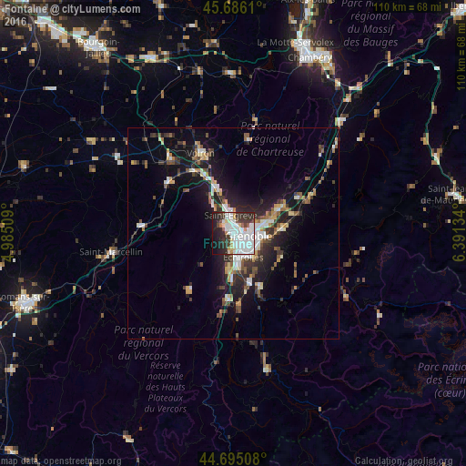
Analysis of Fontaine night lights 2016
Square area 10x10 km:
 26.67%
90-99
17.88%80-89
4.09%70-79
2.42%60-69
2.27%50-59
1.97%40-49
2.88%30-39
12.73%20-29
15.45%10-19
11.82%0-9
1.82%Square area 50x50 km:
2.13%90-99
2.05%80-89
0.93%70-79
1.08%60-69
1.1%50-59
1.75%40-49
1.4%30-39
2.36%20-29
3.58%10-19
8.6%0-9
75.01%Clear (daylight) street map image can be seen on geolist.org.
Map coordinates:
45° 41' 10" North, 4° 59' 6.3" East
45° 11' 33.9" North, 5° 41' 17.6" East
44° 41' 42.3" North, 6° 23' 28.8" East
Some cities around Fontaine sort by population:
• Grenoble
2.6 km =1.6 mi,  126°
126°
• Échirolles
5.6 km =3.5 mi,  158°
158°
• Saint-Égrève
4.5 km =2.8 mi,  353°
353°
• Seyssinet-Pariset
1.8 km =1.1 mi,  165°
165°
• Sassenage
3 km =1.9 mi,  318°
318°
• Seyssins
3.4 km =2.1 mi,  181°
181°
• La Tronche
4.8 km =3 mi,  73°
73°
• Saint-Martin-le-Vinoux
2.5 km =1.6 mi,  62°
62°
3018095 (p: 24,588)
Sources (retrieved 2019-11-25):
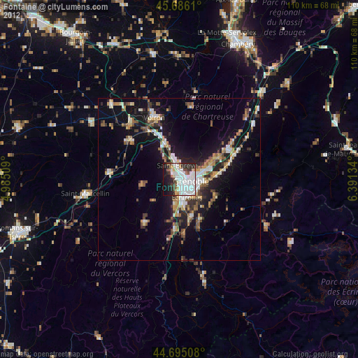
» Earth at Night: Flat Maps 2012, 2016