Saint-Martin-d’Hères night lights from space
Night Light of Saint-Martin-d’Hères (Auvergne-Rhône-Alpes) from space (France) Src. Average luminocity for 10x10km area is 68.3348% and for 50x50km: 11.793%.
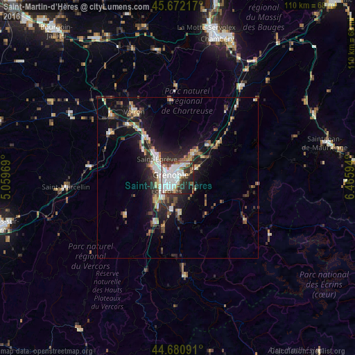
Analysis of Saint-Martin-d’Hères night lights 2016
Square area 10x10 km:
 30.3%
30.3%90-99
17.88%80-89
2.88%70-79
2.12%60-69
4.7%50-59
5.3%40-49
6.52%30-39
11.21%20-29
11.36%10-19
7.27%0-9
0.45%Square area 50x50 km:
2.1%90-99
2.03%80-89
0.95%70-79
1.1%60-69
1.08%50-59
1.68%40-49
1.46%30-39
2.35%20-29
3.64%10-19
8.58%0-9
75.03%Clear (daylight) street map image can be seen on geolist.org.
Map coordinates:
45° 40' 19.8" North, 5° 3' 34.9" East
45° 10' 43.3" North, 5° 45' 46.1" East
44° 40' 51.3" North, 6° 27' 57.4" East
Some cities around Saint-Martin-d’Hères sort by population:
• Grenoble
3.8 km =2.4 mi,  269°
269°
• Échirolles
5.3 km =3.3 mi,  226°
226°
• Meylan
3.6 km =2.2 mi,  18°
18°
• Seyssinet-Pariset
5.4 km =3.4 mi, 267°
• Eybens
3.6 km =2.2 mi,  196°
196°
• La Tronche
3.2 km =2 mi,  336°
336°
• Domène
6.1 km =3.8 mi,  64°
64°
• Gières
2.1 km =1.3 mi,  86°
86°
2978317 (p: 35,528)
Sources (retrieved 2019-11-25):
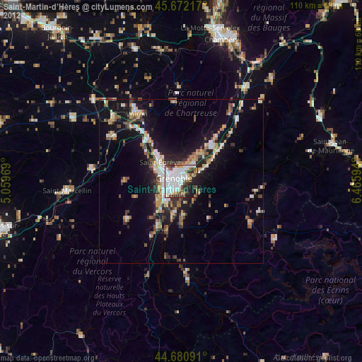
» Earth at Night: Flat Maps 2012, 2016