Meylan night lights from space
Night Light of Meylan (Auvergne-Rhône-Alpes) from space (France) Src. Average luminocity for 10x10km area is 56.597% and for 50x50km: 12.1215%.
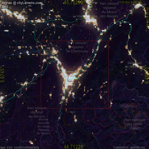
Analysis of Meylan night lights 2016
Square area 10x10 km:
 20.76%
90-99
10.61%80-89
3.03%70-79
4.55%60-69
5.45%50-59
7.12%40-49
4.7%30-39
10%20-29
18.33%10-19
15.45%0-9
0%Square area 50x50 km:
2.13%90-99
2.07%80-89
1%70-79
1.14%60-69
1.11%50-59
1.76%40-49
1.47%30-39
2.37%20-29
3.61%10-19
8.67%0-9
74.66%Clear (daylight) street map image can be seen on geolist.org.
Map coordinates:
45° 42' 10.7" North, 5° 4' 28.2" East
45° 12' 35.2" North, 5° 46' 39.4" East
44° 42' 44.1" North, 6° 28' 50.7" East
Some cities around Meylan sort by population:
• Grenoble
6 km =3.7 mi,  234°
234°
• Saint-Martin-d’Hères
3.6 km =2.2 mi,  198°
198°
• Eybens
7.2 km =4.5 mi, 197°
• La Tronche
2.5 km =1.6 mi,  257°
257°
• Domène
4.4 km =2.7 mi,  99°
99°
• Saint-Ismier
6.3 km =3.9 mi,  41°
41°
• Gières
3.4 km =2.1 mi,  164°
164°
• Saint-Martin-le-Vinoux
4.9 km =3 mi, 261°
2994087 (p: 20,267)
Sources (retrieved 2019-11-25):
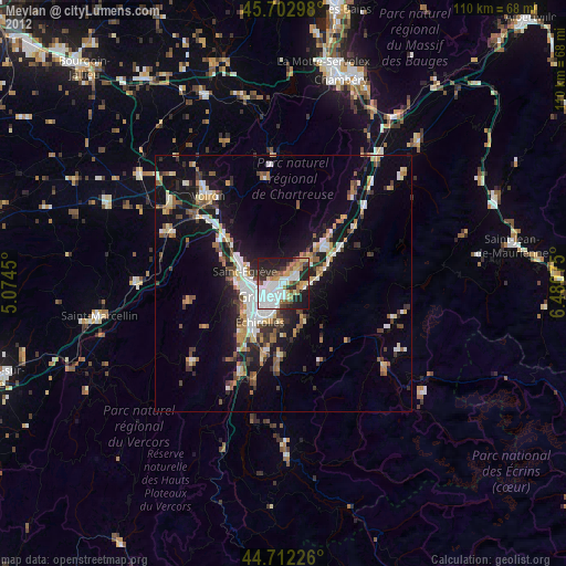
» Earth at Night: Flat Maps 2012, 2016