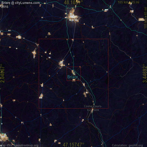
Briare night lights from space
Night Light of Briare (Centre) from space (France) Src. Average luminocity for 10x10km area is 6.2649% and for 50x50km: 1.9393%.
Analysis of Briare night lights 2016
Square area 10x10 km:
 0%
0%90-99
0%80-89
1.19%70-79
1.19%60-69
1.79%50-59
1.49%40-49
0.74%30-39
1.04%20-29
1.79%10-19
0.74%0-9
90.03%Square area 50x50 km:
0.06%90-99
0.22%80-89
0.25%70-79
0.33%60-69
0.32%50-59
0.3%40-49
0.53%30-39
0.29%20-29
0.36%10-19
0.15%0-9
97.21%Clear (daylight) street map image can be seen on geolist.org.
Map coordinates:
48° 6' 18.4" North, 2° 2' 26.4" East
47° 38' 0.3" North, 2° 44' 37.7" East
47° 9' 26.9" North, 3° 26' 48.9" East
Some cities around Briare sort by population:
• Montargis
40.4 km =25.1 mi,  358°
358°
• Gien
10.8 km =6.7 mi,  308°
308°
• Châlette-sur-Loing
42.2 km =26.2 mi, 359°
• Amilly
37.8 km =23.5 mi,  3°
3°
• Cosne-Cours-sur-Loire
28.2 km =17.5 mi,  151°
151°
• Villemandeur
39.4 km =24.5 mi, 357°
• Sully-sur-Loire
31.3 km =19.4 mi,  297°
297°
• Aubigny-sur-Nère
28 km =17.4 mi,  234°
234°
3030132 (p: 6,455)
Sources (retrieved 2019-11-25):
» Earth at Night: Flat Maps 2012, 2016