Saint-Doulchard night lights from space
Night Light of Saint-Doulchard (Centre) from space (France) Src. Average luminocity for 10x10km area is 48.3778% and for 50x50km: 7.3486%.
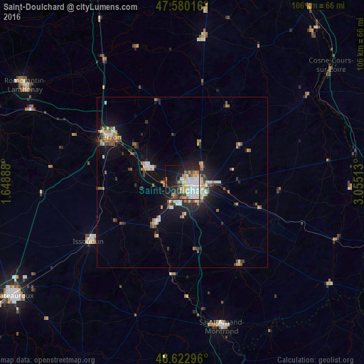
Analysis of Saint-Doulchard night lights 2016
Square area 10x10 km:
 12.93%
90-99
12.22%80-89
5.26%70-79
6.53%60-69
4.55%50-59
0.99%40-49
6.25%30-39
2.41%20-29
14.49%10-19
21.73%0-9
12.64%Square area 50x50 km:
1.02%90-99
1.29%80-89
0.64%70-79
1.05%60-69
0.8%50-59
0.93%40-49
1.03%30-39
0.77%20-29
1.93%10-19
5.01%0-9
85.52%Clear (daylight) street map image can be seen on geolist.org.
Map coordinates:
47° 34' 48.6" North, 1° 38' 56" East
47° 6' 13.4" North, 2° 21' 7.2" East
46° 37' 22.7" North, 3° 3' 18.5" East
Some cities around Saint-Doulchard sort by population:
• Bourges
4.3 km =2.7 mi,  121°
121°
• Vierzon
25.1 km =15.6 mi,  301°
301°
• Romorantin-Lanthenay
54 km =33.6 mi, 302°
• Issoudun
32.2 km =20 mi,  237°
237°
• Mehun-sur-Yèvre
11.3 km =7 mi,  289°
289°
• Aubigny-sur-Nère
43.3 km =26.9 mi,  8°
8°
• Salbris
42.2 km =26.2 mi,  327°
327°
• La Charité-sur-Loire
51 km =31.7 mi,  80°
80°
2980801 (p: 9,433)
Sources (retrieved 2019-11-25):
» Earth at Night: Flat Maps 2012, 2016