Bourges night lights from space
Night Light of Bourges (Centre) from space (France) Src. Average luminocity for 10x10km area is 64.4432% and for 50x50km: 6.7083%.
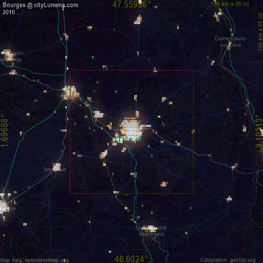
Analysis of Bourges night lights 2016
Square area 10x10 km:
 17.33%
90-99
19.03%80-89
7.67%70-79
9.38%60-69
4.55%50-59
2.41%40-49
8.1%30-39
4.55%20-29
19.6%10-19
7.1%0-9
0.28%Square area 50x50 km:
0.96%90-99
1.23%80-89
0.57%70-79
0.92%60-69
0.7%50-59
0.81%40-49
0.92%30-39
0.7%20-29
1.87%10-19
4.45%0-9
86.87%Clear (daylight) street map image can be seen on geolist.org.
Map coordinates:
47° 33' 35.9" North, 1° 41' 48.8" East
47° 4' 60" North, 2° 24' 0" East
46° 36' 8.6" North, 3° 6' 11.3" East
Some cities around Bourges sort by population:
• Vierzon
29.4 km =18.3 mi,  301°
301°
• Issoudun
34.3 km =21.3 mi,  244°
244°
• Saint-Amand-Montrond
40.9 km =25.4 mi,  168°
168°
• Saint-Doulchard
4.3 km =2.7 mi, 301°
• Mehun-sur-Yèvre
15.5 km =9.6 mi,  292°
292°
• Saint-Florent-sur-Cher
14.9 km =9.3 mi,  229°
229°
• Aubigny-sur-Nère
45.1 km =28 mi,  3°
3°
• Saint-Germain-du-Puy
6.6 km =4.1 mi,  73°
73°
3031005 (p: 67,987)
Sources (retrieved 2019-11-25):
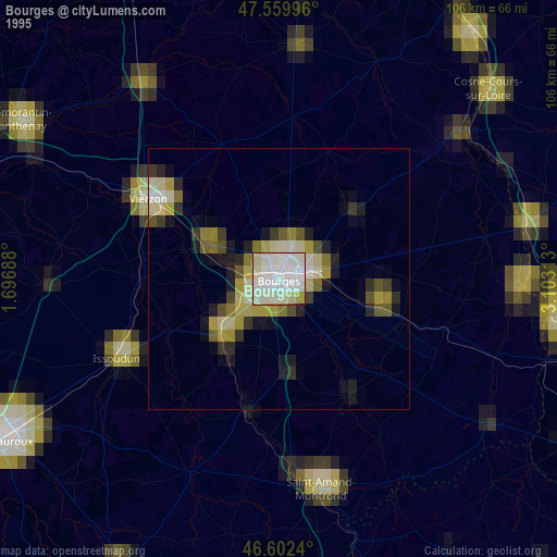
» NASA, Earths city lights 1995
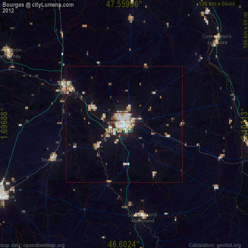
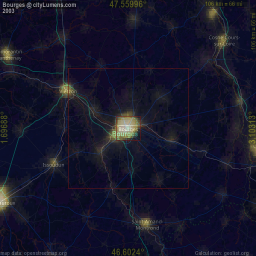
» NASA city lights 2003
» Earth at Night: Flat Maps 2012, 2016