Bagneux night lights from space
Night Light of Bagneux (Île-de-France) from space (France) Src. Average luminocity for 10x10km area is 98.7926% and for 50x50km: 76.5644%.
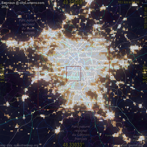
Analysis of Bagneux night lights 2016
Square area 10x10 km:
 76.14%
90-99
20.17%80-89
1.28%70-79
1.56%60-69
0.85%50-59
0%40-49
0%30-39
0%20-29
0%10-19
0%0-9
0%Square area 50x50 km:
36.66%90-99
19.83%80-89
5.52%70-79
5.31%60-69
5.75%50-59
4.71%40-49
5.91%30-39
4.84%20-29
3.66%10-19
2.3%0-9
5.52%Clear (daylight) street map image can be seen on geolist.org.
Map coordinates:
49° 15' 24.1" North, 1° 36' 17.4" East
48° 47' 44.3" North, 2° 18' 28.7" East
48° 19' 49.2" North, 3° 0' 39.9" East
Some cities around Bagneux sort by population:
• Montrouge
2.3 km =1.4 mi,  10°
10°
• Châtillon
1.3 km =0.8 mi,  305°
305°
• L'Haÿ-les-Roses
2.3 km =1.4 mi,  126°
126°
• Cachan
2.1 km =1.3 mi,  87°
87°
• Fontenay-aux-Roses
1.1 km =0.7 mi,  256°
256°
• Sceaux
2.5 km =1.6 mi,  211°
211°
• Bourg-la-Reine
2 km =1.2 mi,  158°
158°
• Arcueil
1.9 km =1.2 mi,  75°
75°
3035409 (p: 38,900)
Sources (retrieved 2019-11-25):
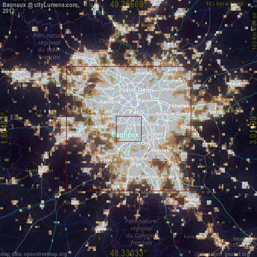
» Earth at Night: Flat Maps 2012, 2016