Sceaux night lights from space
Night Light of Sceaux (Île-de-France) from space (France) Src. Average luminocity for 10x10km area is 95.9332% and for 50x50km: 74.1092%.
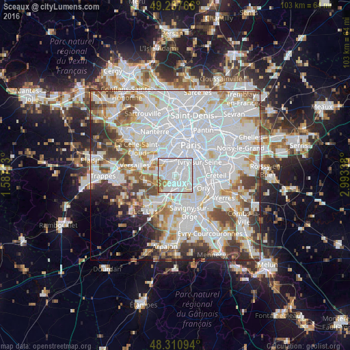
Analysis of Sceaux night lights 2016
Square area 10x10 km:
 57.39%
90-99
30.11%80-89
3.69%70-79
3.13%60-69
4.55%50-59
1.14%40-49
0%30-39
0%20-29
0%10-19
0%0-9
0%Square area 50x50 km:
35.5%90-99
18.89%80-89
5.36%70-79
5.04%60-69
5.57%50-59
4.41%40-49
5.83%30-39
4.83%20-29
4.49%10-19
2.65%0-9
7.42%Clear (daylight) street map image can be seen on geolist.org.
Map coordinates:
49° 14' 15.6" North, 1° 35' 13.7" East
48° 46' 35.2" North, 2° 17' 24.9" East
48° 18' 39.4" North, 2° 59' 36.2" East
Some cities around Sceaux sort by population:
• Antony
2.6 km =1.6 mi,  169°
169°
• Bagneux
2.5 km =1.6 mi,  31°
31°
• Châtenay-Malabry
2.1 km =1.3 mi,  233°
233°
• Châtillon
2.9 km =1.8 mi,  4°
4°
• L'Haÿ-les-Roses
3.2 km =2 mi,  76°
76°
• Fontenay-aux-Roses
1.9 km =1.2 mi,  5°
5°
• Le Plessis-Robinson
2 km =1.2 mi,  314°
314°
• Bourg-la-Reine
2 km =1.2 mi, 82°
2975469 (p: 21,511)
Sources (retrieved 2019-11-25):
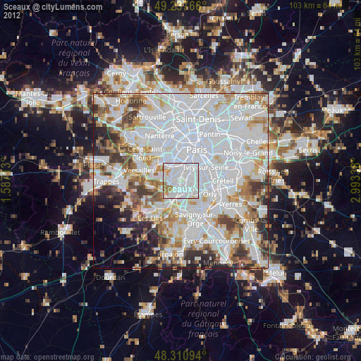
» Earth at Night: Flat Maps 2012, 2016