Hénin-Beaumont night lights from space
Night Light of Hénin-Beaumont (Hauts-de-France) from space (France) Src. Average luminocity for 10x10km area is 78.6485% and for 50x50km: 41.9842%.

Analysis of Hénin-Beaumont night lights 2016
Square area 10x10 km:
 24.79%
90-99
26.19%80-89
7.7%70-79
8.26%60-69
9.24%50-59
4.76%40-49
6.72%30-39
9.94%20-29
2.38%10-19
0%0-9
0%Square area 50x50 km:
9.13%90-99
9.7%80-89
3.68%70-79
4.28%60-69
5.33%50-59
4.86%40-49
5.89%30-39
6.68%20-29
11.87%10-19
18.65%0-9
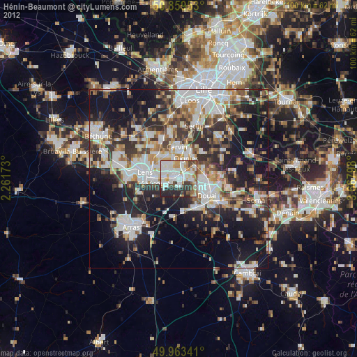
19.91%Clear (daylight) street map image can be seen on geolist.org.
Map coordinates:
50° 51' 34.3" North, 2° 15' 42.2" East
50° 24' 48.9" North, 2° 57' 53.5" East
49° 57' 48.3" North, 3° 40' 4.7" East
Some cities around Hénin-Beaumont sort by population:
• Montigny-en-Gohelle
2.3 km =1.4 mi,  305°
305°
• Courrières
5 km =3.1 mi,  345°
345°
• Rouvroy
4.9 km =3 mi,  241°
241°
• Billy-Montigny
4.4 km =2.7 mi,  275°
275°
• Fouquières-lès-Lens
4 km =2.5 mi,  294°
294°
• Courcelles-lès-Lens
3.7 km =2.3 mi,  84°
84°
• Dourges
2.9 km =1.8 mi,  30°
30°
• Noyelles-Godault
2 km =1.2 mi, 77°
3013525 (p: 25,371)
Sources (retrieved 2019-11-25):
» Earth at Night: Flat Maps 2012, 2016