Goussainville night lights from space
Night Light of Goussainville (Île-de-France) from space (France) Src. Average luminocity for 10x10km area is 72.8482% and for 50x50km: 56.7499%.
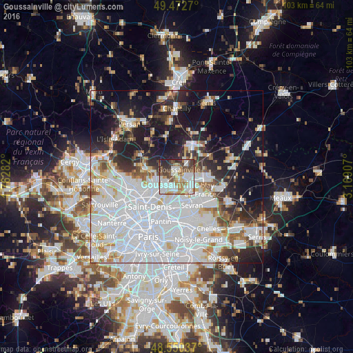
Analysis of Goussainville night lights 2016
Square area 10x10 km:
 21.28%
90-99
21.58%80-89
6.25%70-79
6.7%60-69
8.63%50-59
11.16%40-49
9.52%30-39
8.48%20-29
5.65%10-19
0.74%0-9
0%Square area 50x50 km:
26.73%90-99
12.32%80-89
3.94%70-79
3.39%60-69
3.94%50-59
3.6%40-49
3.39%30-39
4.29%20-29
7.61%10-19
15.73%0-9
15.07%Clear (daylight) street map image can be seen on geolist.org.
Map coordinates:
49° 28' 21.7" North, 1° 45' 46.2" East
49° 0' 49.2" North, 2° 27' 57.4" East
48° 33' 1.3" North, 3° 10' 8.7" East
Some cities around Goussainville sort by population:
• Sarcelles
6.7 km =4.2 mi,  254°
254°
• Garges-lès-Gonesse
7.1 km =4.4 mi,  224°
224°
• Villiers-le-Bel
5 km =3.1 mi,  263°
263°
• Gonesse
3.2 km =2 mi,  202°
202°
• Arnouville
4.9 km =3 mi,  226°
226°
• Louvres
4.5 km =2.8 mi,  39°
39°
• Ézanville
7.3 km =4.5 mi,  282°
282°
• Écouen
6.1 km =3.8 mi, 277°
3015490 (p: 30,047)
Sources (retrieved 2019-11-25):
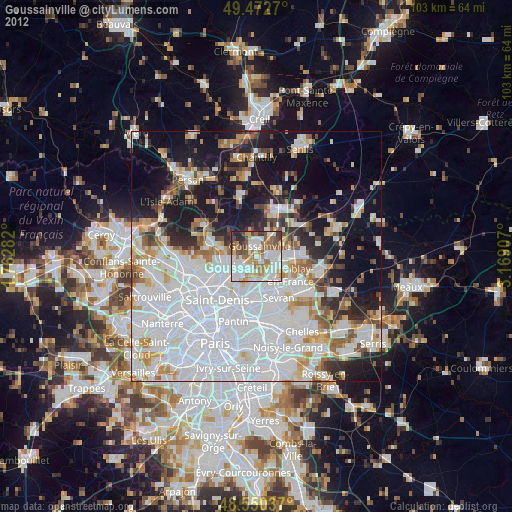
» Earth at Night: Flat Maps 2012, 2016