Villiers-le-Bel night lights from space
Night Light of Villiers-le-Bel (Île-de-France) from space (France) Src. Average luminocity for 10x10km area is 75.7143% and for 50x50km: 60.3884%.
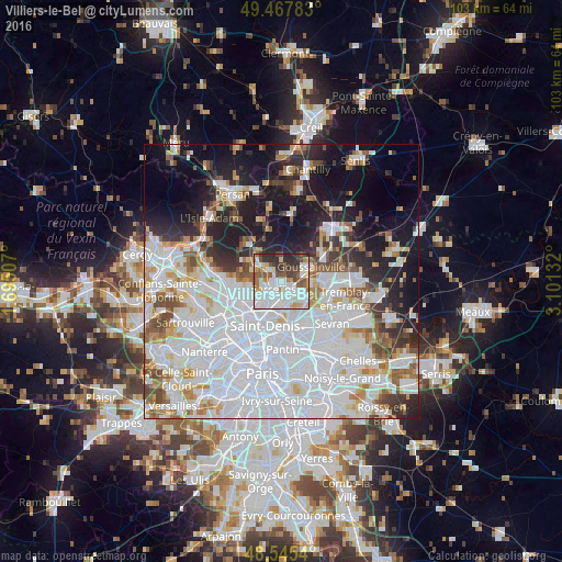
Analysis of Villiers-le-Bel night lights 2016
Square area 10x10 km:
 28.13%
90-99
22.32%80-89
6.1%70-79
5.06%60-69
5.95%50-59
8.93%40-49
7.59%30-39
8.33%20-29
7.44%10-19
0.15%0-9
0%Square area 50x50 km:
28.16%90-99
13.59%80-89
4.27%70-79
3.91%60-69
4.41%50-59
4.09%40-49
3.98%30-39
4.08%20-29
7.09%10-19
14.02%0-9
12.4%Clear (daylight) street map image can be seen on geolist.org.
Map coordinates:
49° 28' 4.2" North, 1° 41' 42.3" East
49° 0' 31.5" North, 2° 23' 53.5" East
48° 32' 43.4" North, 3° 6' 4.8" East
Some cities around Villiers-le-Bel sort by population:
• Sarcelles
1.9 km =1.2 mi,  229°
229°
• Garges-lès-Gonesse
4.5 km =2.8 mi,  180°
180°
• Gonesse
4.4 km =2.7 mi,  123°
123°
• Saint-Brice-sous-Forêt
3.4 km =2.1 mi,  255°
255°
• Arnouville
3.1 km =1.9 mi,  154°
154°
• Ézanville
3.1 km =1.9 mi,  313°
313°
• Groslay
4.5 km =2.8 mi,  235°
235°
• Écouen
1.7 km =1.1 mi,  320°
320°
2968176 (p: 27,028)
Sources (retrieved 2019-11-25):
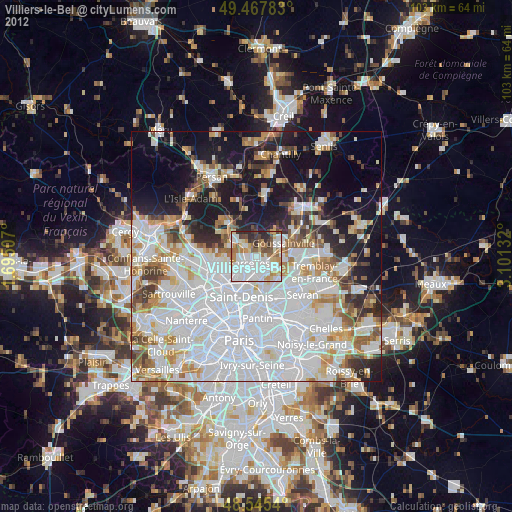
» Earth at Night: Flat Maps 2012, 2016