Sarcelles night lights from space
Night Light of Sarcelles (Île-de-France) from space (France) Src. Average luminocity for 10x10km area is 81.1205% and for 50x50km: 62.3884%.
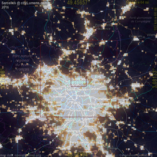
Analysis of Sarcelles night lights 2016
Square area 10x10 km:
 34.52%
90-99
23.81%80-89
5.8%70-79
4.91%60-69
6.25%50-59
8.93%40-49
5.8%30-39
7.14%20-29
2.83%10-19
0%0-9
0%Square area 50x50 km:
29.26%90-99
14.18%80-89
4.47%70-79
4.05%60-69
4.67%50-59
4.15%40-49
4.1%30-39
4.37%20-29
6.68%10-19
13.02%0-9
11.06%Clear (daylight) street map image can be seen on geolist.org.
Map coordinates:
49° 27' 23.7" North, 1° 40' 30.3" East
48° 59' 50.6" North, 2° 22' 41.6" East
48° 32' 2.2" North, 3° 4' 52.8" East
Some cities around Sarcelles sort by population:
• Villiers-le-Bel
1.9 km =1.2 mi,  49°
49°
• Montmorency
2.7 km =1.7 mi,  248°
248°
• Montmagny
3.5 km =2.2 mi,  220°
220°
• Saint-Brice-sous-Forêt
1.8 km =1.1 mi,  283°
283°
• Arnouville
3.2 km =2 mi,  119°
119°
• Ézanville
3.5 km =2.2 mi,  347°
347°
• Groslay
2.6 km =1.6 mi,  239°
239°
• Écouen
2.6 km =1.6 mi,  7°
7°
2976043 (p: 57,979)
Sources (retrieved 2019-11-25):
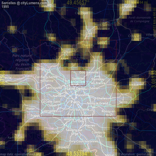
» NASA, Earths city lights 1995
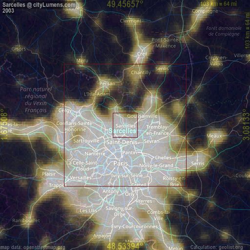
» NASA city lights 2003
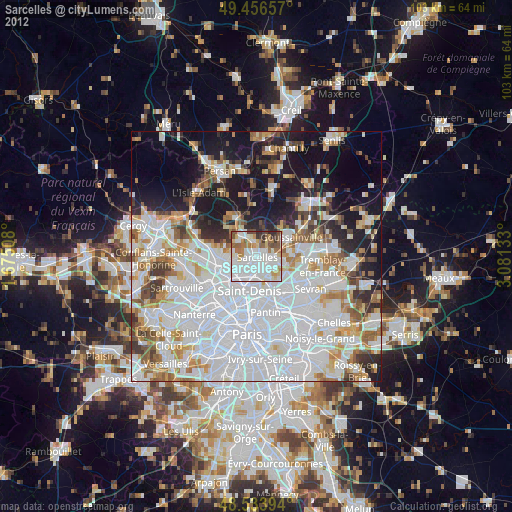
» Earth at Night: Flat Maps 2012, 2016