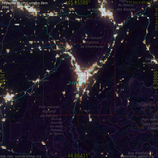
Seyssins night lights from space
Night Light of Seyssins (Auvergne-Rhône-Alpes) from space (France) Src. Average luminocity for 10x10km area is 61.8212% and for 50x50km: 11.4566%.
Analysis of Seyssins night lights 2016
Square area 10x10 km:
 25.45%
90-99
18.18%80-89
4.39%70-79
2.27%60-69
2.73%50-59
3.03%40-49
3.18%30-39
8.79%20-29
11.97%10-19
14.7%0-9
5.3%Square area 50x50 km:
2.12%90-99
2%80-89
0.92%70-79
1.03%60-69
1.04%50-59
1.62%40-49
1.36%30-39
2.23%20-29
3.6%10-19
8.38%0-9
75.72%Clear (daylight) street map image can be seen on geolist.org.
Map coordinates:
45° 39' 21.1" North, 4° 59' 1" East
45° 9' 44.1" North, 5° 41' 12.2" East
44° 39' 51.5" North, 6° 23' 23.5" East
Some cities around Seyssins sort by population:
• Grenoble
2.9 km =1.8 mi,  50°
50°
• Échirolles
2.8 km =1.7 mi,  129°
129°
• Fontaine
3.4 km =2.1 mi,  1°
1°
• Le Pont-de-Claix
4.4 km =2.7 mi,  168°
168°
• Sassenage
5.9 km =3.7 mi,  341°
341°
• Eybens
5.2 km =3.2 mi,  108°
108°
• Claix
4.8 km =3 mi,  192°
192°
• Saint-Martin-le-Vinoux
5.1 km =3.2 mi,  27°
27°
2974644 (p: 7,408)
Sources (retrieved 2019-11-25):
» Earth at Night: Flat Maps 2012, 2016