Échirolles night lights from space
Night Light of Échirolles (Auvergne-Rhône-Alpes) from space (France) Src. Average luminocity for 10x10km area is 67.4561% and for 50x50km: 11.3015%.
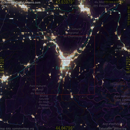
Analysis of Échirolles night lights 2016
Square area 10x10 km:
 26.06%
90-99
16.97%80-89
6.21%70-79
3.18%60-69
4.55%50-59
4.7%40-49
6.82%30-39
12.58%20-29
15.3%10-19
3.64%0-9
0%Square area 50x50 km:
2.12%90-99
1.96%80-89
0.91%70-79
1.03%60-69
1.03%50-59
1.59%40-49
1.41%30-39
2.18%20-29
3.51%10-19
8.16%0-9
76.11%Clear (daylight) street map image can be seen on geolist.org.
Map coordinates:
45° 38' 23.2" North, 5° 0' 40.6" East
45° 8' 45.7" North, 5° 42' 51.9" East
44° 38' 52.7" North, 6° 25' 3.1" East
Some cities around Échirolles sort by population:
• Grenoble
3.6 km =2.2 mi,  0°
0°
• Saint-Martin-d’Hères
5.3 km =3.3 mi,  46°
46°
• Fontaine
5.6 km =3.5 mi,  338°
338°
• Seyssinet-Pariset
3.8 km =2.4 mi,  334°
334°
• Le Pont-de-Claix
2.9 km =1.8 mi,  207°
207°
• Eybens
2.8 km =1.7 mi,  86°
86°
• Claix
4.4 km =2.7 mi,  228°
228°
• Seyssins
2.8 km =1.7 mi,  309°
309°
3020495 (p: 33,088)
Sources (retrieved 2019-11-25):
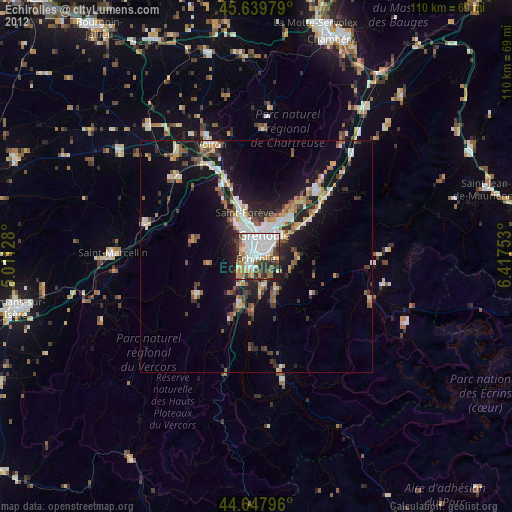
» Earth at Night: Flat Maps 2012, 2016