Draveil night lights from space
Night Light of Draveil (Île-de-France) from space (France) Src. Average luminocity for 10x10km area is 89.7202% and for 50x50km: 59.9647%.
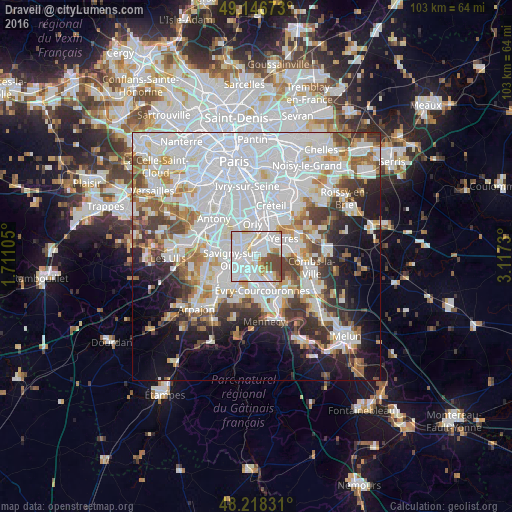
Analysis of Draveil night lights 2016
Square area 10x10 km:
 41.67%
90-99
32.89%80-89
6.4%70-79
3.13%60-69
2.98%50-59
5.06%40-49
7.89%30-39
0%20-29
0%10-19
0%0-9
0%Square area 50x50 km:
26.35%90-99
14.61%80-89
3.9%70-79
4.42%60-69
5.19%50-59
4.08%40-49
4.87%30-39
4.88%20-29
6.27%10-19
9.32%0-9
16.11%Clear (daylight) street map image can be seen on geolist.org.
Map coordinates:
49° 8' 48.2" North, 1° 42' 39.8" East
48° 41' 4.8" North, 2° 24' 51" East
48° 13' 5.9" North, 3° 7' 2.3" East
Some cities around Draveil sort by population:
• Athis-Mons
2.8 km =1.7 mi,  323°
323°
• Viry-Châtillon
2.1 km =1.3 mi,  227°
227°
• Vigneux-sur-Seine
2 km =1.2 mi,  358°
358°
• Ris-Orangis
3.7 km =2.3 mi,  180°
180°
• Grigny
3.7 km =2.3 mi,  204°
204°
• Montgeron
3.5 km =2.2 mi,  49°
49°
• Juvisy-sur-Orge
2.3 km =1.4 mi,  266°
266°
• Ablon-sur-Seine
4.8 km =3 mi,  11°
11°
3020832 (p: 29,316)
Sources (retrieved 2019-11-25):
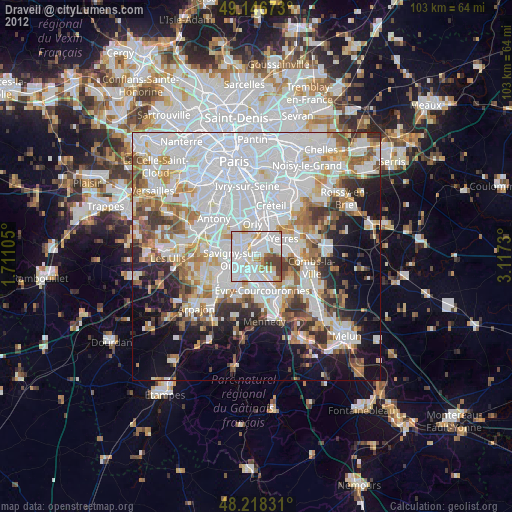
» Earth at Night: Flat Maps 2012, 2016