Montgeron night lights from space
Night Light of Montgeron (Île-de-France) from space (France) Src. Average luminocity for 10x10km area is 86.3557% and for 50x50km: 62.6015%.
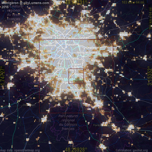
Analysis of Montgeron night lights 2016
Square area 10x10 km:
 37.65%
90-99
27.53%80-89
7.74%70-79
7.44%60-69
3.13%50-59
4.61%40-49
11.9%30-39
0%20-29
0%10-19
0%0-9
0%Square area 50x50 km:
28.78%90-99
14.79%80-89
4.1%70-79
4.53%60-69
4.97%50-59
3.94%40-49
4.63%30-39
5.17%20-29
6.7%10-19
8.7%0-9
13.7%Clear (daylight) street map image can be seen on geolist.org.
Map coordinates:
49° 10' 2.3" North, 1° 44' 50.2" East
48° 42' 19.5" North, 2° 27' 1.4" East
48° 14' 21.4" North, 3° 9' 12.7" East
Some cities around Montgeron sort by population:
• Athis-Mons
4.3 km =2.7 mi,  269°
269°
• Villeneuve-Saint-Georges
3 km =1.9 mi,  358°
358°
• Draveil
3.5 km =2.2 mi,  229°
229°
• Yerres
3.4 km =2.1 mi,  66°
66°
• Vigneux-sur-Seine
2.7 km =1.7 mi,  264°
264°
• Brunoy
3.3 km =2.1 mi,  112°
112°
• Crosne
1.6 km =1 mi,  18°
18°
• Ablon-sur-Seine
3 km =1.9 mi,  324°
324°
2992536 (p: 22,843)
Sources (retrieved 2019-11-25):
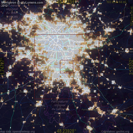
» Earth at Night: Flat Maps 2012, 2016