Athis-Mons night lights from space
Night Light of Athis-Mons (Île-de-France) from space (France) Src. Average luminocity for 10x10km area is 94.7902% and for 50x50km: 63.9763%.
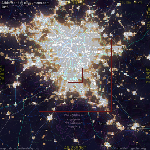
Analysis of Athis-Mons night lights 2016
Square area 10x10 km:
 52.53%
90-99
31.4%80-89
8.63%70-79
2.08%60-69
0.74%50-59
3.57%40-49
1.04%30-39
0%20-29
0%10-19
0%0-9
0%Square area 50x50 km:
29.03%90-99
15.12%80-89
4.35%70-79
4.69%60-69
5.56%50-59
4.34%40-49
5.03%30-39
5.19%20-29
6.22%10-19
7.72%0-9
12.74%Clear (daylight) street map image can be seen on geolist.org.
Map coordinates:
49° 10' 1.6" North, 1° 41' 18.1" East
48° 42' 18.8" North, 2° 23' 29.3" East
48° 14' 20.6" North, 3° 5' 40.6" East
Some cities around Athis-Mons sort by population:
• Viry-Châtillon
3.7 km =2.3 mi,  178°
178°
• Draveil
2.8 km =1.7 mi,  143°
143°
• Vigneux-sur-Seine
1.6 km =1 mi,  98°
98°
• Villeneuve-le-Roi
3.6 km =2.2 mi,  11°
11°
• Juvisy-sur-Orge
2.5 km =1.6 mi,  193°
193°
• Morangis
3.8 km =2.4 mi,  267°
267°
• Paray-Vieille-Poste
2.3 km =1.4 mi,  294°
294°
• Ablon-sur-Seine
3.6 km =2.2 mi,  46°
46°
3036460 (p: 31,225)
Sources (retrieved 2019-11-25):
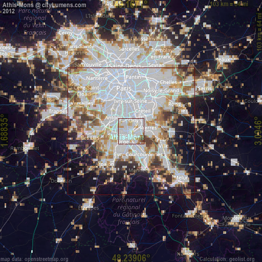
» Earth at Night: Flat Maps 2012, 2016