Grigny night lights from space
Night Light of Grigny (Île-de-France) from space (France) Src. Average luminocity for 10x10km area is 93.4539% and for 50x50km: 55.18%.
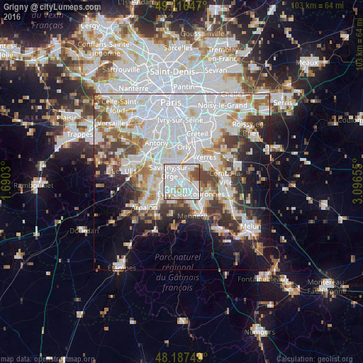
Analysis of Grigny night lights 2016
Square area 10x10 km:
 47.62%
90-99
34.67%80-89
3.13%70-79
6.7%60-69
1.34%50-59
4.17%40-49
2.38%30-39
0%20-29
0%10-19
0%0-9
0%Square area 50x50 km:
22.22%90-99
13.79%80-89
3.97%70-79
4.41%60-69
5.25%50-59
3.97%40-49
4.88%30-39
4.92%20-29
6.22%10-19
9.72%0-9
20.64%Clear (daylight) street map image can be seen on geolist.org.
Map coordinates:
49° 6' 59.3" North, 1° 41' 25.1" East
48° 39' 14.8" North, 2° 23' 36.3" East
48° 11' 15" North, 3° 5' 47.6" East
Some cities around Grigny sort by population:
• Évry
4.2 km =2.6 mi,  124°
124°
• Savigny-sur-Orge
4.2 km =2.6 mi,  307°
307°
• Viry-Châtillon
2 km =1.2 mi,  359°
359°
• Draveil
3.7 km =2.3 mi,  24°
24°
• Ris-Orangis
1.6 km =1 mi,  102°
102°
• Morsang-sur-Orge
3.1 km =1.9 mi,  286°
286°
• Juvisy-sur-Orge
3.3 km =2.1 mi,  347°
347°
• Fleury-Mérogis
2.9 km =1.8 mi,  229°
229°
3014646 (p: 24,940)
Sources (retrieved 2019-11-25):
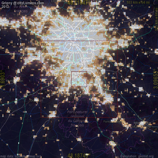
» Earth at Night: Flat Maps 2012, 2016