Meyzieu night lights from space
Night Light of Meyzieu (Auvergne-Rhône-Alpes) from space (France) Src. Average luminocity for 10x10km area is 68.6095% and for 50x50km: 38.3865%.
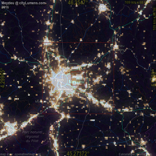
Analysis of Meyzieu night lights 2016
Square area 10x10 km:
 16.98%
90-99
21.43%80-89
5.24%70-79
8.25%60-69
4.92%50-59
8.41%40-49
10.48%30-39
21.11%20-29
3.17%10-19
0%0-9
0%Square area 50x50 km:
9.44%90-99
7.8%80-89
2.86%70-79
3.71%60-69
4.33%50-59
5.03%40-49
5.08%30-39
6.34%20-29
12.39%10-19
16.57%0-9
26.44%Clear (daylight) street map image can be seen on geolist.org.
Map coordinates:
46° 15' 16.9" North, 4° 17' 58.7" East
45° 45' 58.9" North, 5° 0' 10" East
45° 16' 25.4" North, 5° 42' 21.2" East
Some cities around Meyzieu sort by population:
• Bron
7.6 km =4.7 mi,  246°
246°
• Vaulx-en-Velin
6.4 km =4 mi,  290°
290°
• Décines-Charpieu
3.4 km =2.1 mi,  274°
274°
• Genas
3.9 km =2.4 mi,  180°
180°
• Chassieu
3.4 km =2.1 mi,  227°
227°
• Miribel
7.6 km =4.7 mi,  330°
330°
• Saint-Bonnet-de-Mure
8.7 km =5.4 mi,  166°
166°
• Jonage
4.8 km =3 mi,  45°
45°
2994048 (p: 28,929)
Sources (retrieved 2019-11-25):
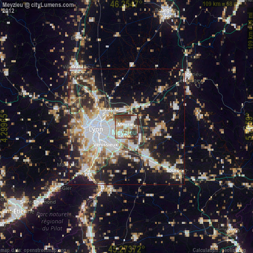
» Earth at Night: Flat Maps 2012, 2016