Champs-sur-Marne night lights from space
Night Light of Champs-sur-Marne (Île-de-France) from space (France) Src. Average luminocity for 10x10km area is 90.1832% and for 50x50km: 59.4941%.
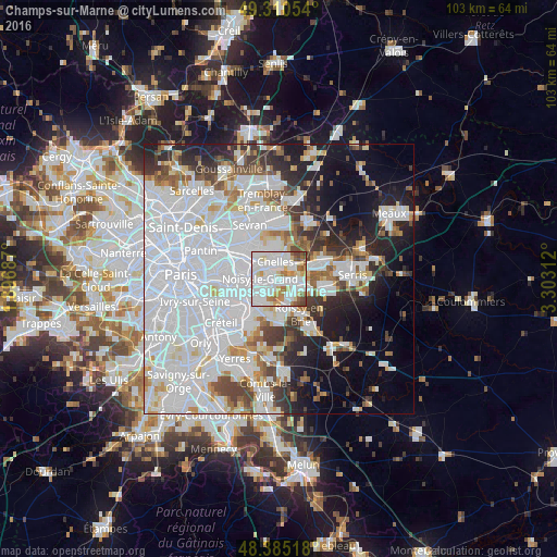
Analysis of Champs-sur-Marne night lights 2016
Square area 10x10 km:
 37.07%
90-99
34.52%80-89
8.38%70-79
5.26%60-69
6.82%50-59
4.26%40-49
3.55%30-39
0.14%20-29
0%10-19
0%0-9
0%Square area 50x50 km:
29.06%90-99
13.71%80-89
3.67%70-79
3.28%60-69
3.86%50-59
3.64%40-49
4.06%30-39
4.3%20-29
6.57%10-19
10.35%0-9
17.51%Clear (daylight) street map image can be seen on geolist.org.
Map coordinates:
49° 18' 37.9" North, 1° 53' 48.7" East
48° 51' 0" North, 2° 36' 0" East
48° 23' 6.6" North, 3° 18' 11.2" East
Some cities around Champs-sur-Marne sort by population:
• Noisy-le-Grand
2.7 km =1.7 mi,  269°
269°
• Chelles
3.5 km =2.2 mi,  351°
351°
• Neuilly-sur-Marne
3.8 km =2.4 mi,  276°
276°
• Torcy
3.7 km =2.3 mi,  88°
88°
• Lognes
2.7 km =1.7 mi,  126°
126°
• Noisiel
1.8 km =1.1 mi, 94°
• Vaires-sur-Marne
4.1 km =2.5 mi,  44°
44°
• Gournay-sur-Marne
1.8 km =1.1 mi,  320°
320°
3027014 (p: 27,776)
Sources (retrieved 2019-11-25):
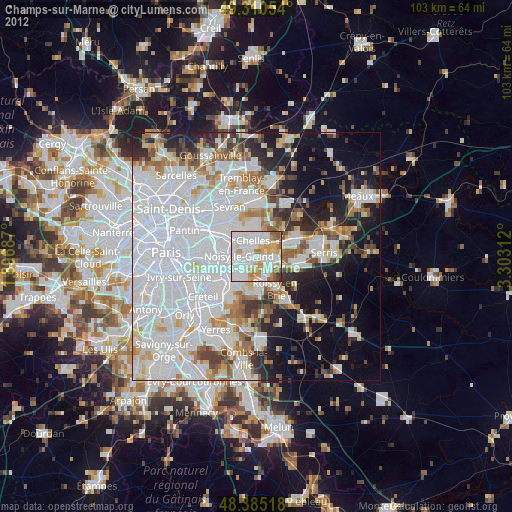
» Earth at Night: Flat Maps 2012, 2016