Cambrai night lights from space
Night Light of Cambrai (Hauts-de-France) from space (France) Src. Average luminocity for 10x10km area is 38.266% and for 50x50km: 19.832%.
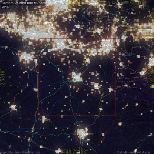
Analysis of Cambrai night lights 2016
Square area 10x10 km:
 8.02%
8.02%90-99
10.29%80-89
4.28%70-79
2.67%60-69
2.27%50-59
3.61%40-49
3.07%30-39
0.53%20-29
13.37%10-19
41.04%0-9
10.83%Square area 50x50 km:
3.65%90-99
4.3%80-89
1.89%70-79
1.7%60-69
2.2%50-59
1.95%40-49
2.41%30-39
3.59%20-29
6.65%10-19
11.08%0-9
60.58%Clear (daylight) street map image can be seen on geolist.org.
Map coordinates:
50° 37' 26.9" North, 2° 31' 53.8" East
50° 10' 33.5" North, 3° 14' 5" East
49° 43' 24.7" North, 3° 56' 16.3" East
Some cities around Cambrai sort by population:
• Denain
20.5 km =12.7 mi,  33°
33°
• Caudry
13.8 km =8.6 mi,  114°
114°
• Somain
20.7 km =12.9 mi,  9°
9°
• Douchy-les-Mines
17.9 km =11.1 mi,  38°
38°
• Aniche
17.2 km =10.7 mi,  4°
4°
• Escaudain
19.1 km =11.9 mi,  24°
24°
• Dechy
21.1 km =13.1 mi,  336°
336°
• Fenain
21.7 km =13.5 mi, 12°
3029030 (p: 36,492)
Sources (retrieved 2019-11-25):
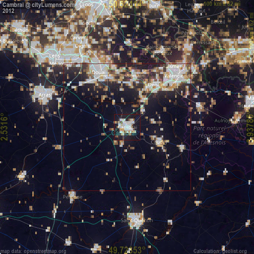
» Earth at Night: Flat Maps 2012, 2016