Caudry night lights from space
Night Light of Caudry (Hauts-de-France) from space (France) Src. Average luminocity for 10x10km area is 26.0013% and for 50x50km: 13.1778%.
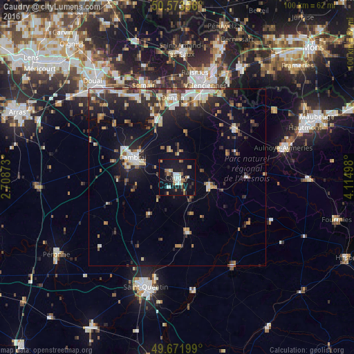
Analysis of Caudry night lights 2016
Square area 10x10 km:
 3.21%
3.21%90-99
5.35%80-89
2.54%70-79
1.34%60-69
5.75%50-59
2.67%40-49
0.53%30-39
2.41%20-29
2.27%10-19
41.44%0-9
32.49%Square area 50x50 km:
1.73%90-99
2.33%80-89
1.34%70-79
1.18%60-69
1.83%50-59
1.26%40-49
1.73%30-39
2.14%20-29
4.32%10-19
10.33%0-9
71.82%Clear (daylight) street map image can be seen on geolist.org.
Map coordinates:
50° 34' 24.8" North, 2° 42' 31.4" East
50° 7' 29.6" North, 3° 24' 42.7" East
49° 40' 19.2" North, 4° 6' 53.9" East
Some cities around Caudry sort by population:
• Cambrai
13.8 km =8.6 mi,  294°
294°
• Denain
22.8 km =14.2 mi,  356°
356°
• Douchy-les-Mines
19.6 km =12.2 mi, 356°
• Aniche
25.4 km =15.8 mi,  333°
333°
• Escaudain
23.6 km =14.7 mi,  348°
348°
• Aulnoy-lez-Valenciennes
24.7 km =15.3 mi,  20°
20°
• Trith-Saint-Léger
21.9 km =13.6 mi,  13°
13°
• Bohain-en-Vermandois
15.6 km =9.7 mi,  169°
169°
3028205 (p: 13,862)
Sources (retrieved 2019-11-25):
» Earth at Night: Flat Maps 2012, 2016