Denain night lights from space
Night Light of Denain (Hauts-de-France) from space (France) Src. Average luminocity for 10x10km area is 55.4244% and for 50x50km: 27.8941%.
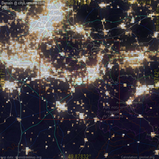
Analysis of Denain night lights 2016
Square area 10x10 km:
 9.66%
9.66%90-99
13.87%80-89
5.32%70-79
5.46%60-69
6.02%50-59
4.2%40-49
12.32%30-39
16.11%20-29
25.77%10-19
1.26%0-9
0%Square area 50x50 km:
4.08%90-99
5.13%80-89
2.38%70-79
2.28%60-69
3.44%50-59
3.51%40-49
4.3%30-39
5.52%20-29
11.35%10-19
22.32%0-9
35.68%Clear (daylight) street map image can be seen on geolist.org.
Map coordinates:
50° 46' 33.7" North, 2° 41' 28.2" East
50° 19' 45.5" North, 3° 23' 39.5" East
49° 52' 42" North, 4° 5' 50.7" East
Some cities around Denain sort by population:
• Raismes
8.7 km =5.4 mi,  46°
46°
• Somain
8.7 km =5.4 mi,  292°
292°
• Douchy-les-Mines
3.2 km =2 mi,  182°
182°
• Escaudain
3.6 km =2.2 mi,  276°
276°
• Trith-Saint-Léger
6.5 km =4 mi,  102°
102°
• Wallers
5 km =3.1 mi,  358°
358°
• Fenain
7.9 km =4.9 mi,  301°
301°
• Petite-Forêt
7.6 km =4.7 mi,  56°
56°
3021605 (p: 21,412)
Sources (retrieved 2019-11-25):
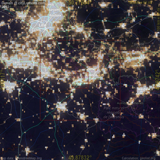
» Earth at Night: Flat Maps 2012, 2016