Aniche night lights from space
Night Light of Aniche (Hauts-de-France) from space (France) Src. Average luminocity for 10x10km area is 46.8053% and for 50x50km: 32.2774%.
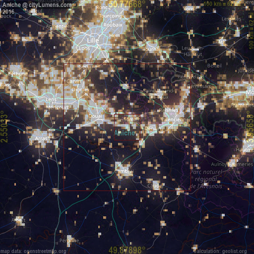
Analysis of Aniche night lights 2016
Square area 10x10 km:
 6.16%
6.16%90-99
9.1%80-89
8.12%70-79
4.48%60-69
6.44%50-59
2.94%40-49
7%30-39
8.68%20-29
27.03%10-19
19.61%0-9
0.42%Square area 50x50 km:
5.73%90-99
6.83%80-89
3.02%70-79
3.12%60-69
3.97%50-59
3.94%40-49
4.41%30-39
5.77%20-29
10.8%10-19
18.97%0-9
33.42%Clear (daylight) street map image can be seen on geolist.org.
Map coordinates:
50° 46' 36" North, 2° 33' 1.2" East
50° 19' 47.8" North, 3° 15' 12.5" East
49° 52' 44.3" North, 3° 57' 23.7" East
Some cities around Aniche sort by population:
• Denain
10 km =6.2 mi,  90°
90°
• Sin-le-Noble
9.4 km =5.8 mi,  292°
292°
• Somain
3.8 km =2.4 mi,  30°
30°
• Escaudain
6.5 km =4 mi, 86°
• Pecquencourt
6.1 km =3.8 mi,  331°
331°
• Lallaing
9 km =5.6 mi,  318°
318°
• Dechy
10 km =6.2 mi,  282°
282°
• Fenain
5.3 km =3.3 mi,  38°
38°
3037571 (p: 10,108)
Sources (retrieved 2019-11-25):
» Earth at Night: Flat Maps 2012, 2016