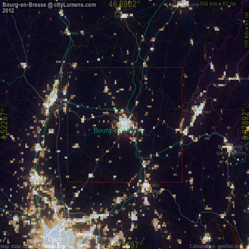
Bourg-en-Bresse night lights from space
Night Light of Bourg-en-Bresse (Auvergne-Rhône-Alpes) from space (France) Src. Average luminocity for 10x10km area is 40.2557% and for 50x50km: 4.5289%.
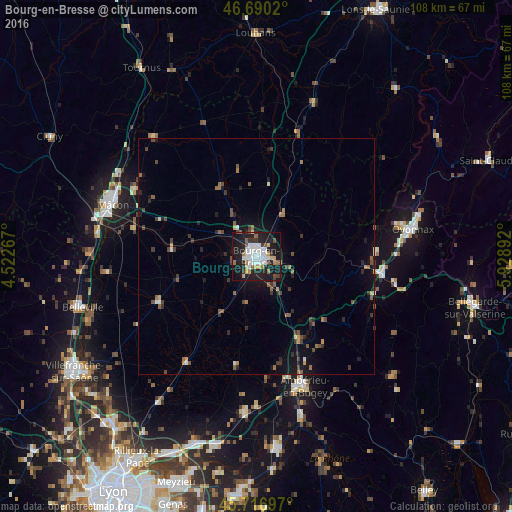
Analysis of Bourg-en-Bresse night lights 2016
Square area 10x10 km:
 9.66%
9.66%90-99
9.8%80-89
1.42%70-79
4.83%60-69
3.41%50-59
3.98%40-49
2.84%30-39
3.55%20-29
13.07%10-19
40.06%0-9
7.39%Square area 50x50 km:
0.45%90-99
0.6%80-89
0.18%70-79
0.45%60-69
0.55%50-59
0.93%40-49
0.7%30-39
0.92%20-29
1.2%10-19
3.54%0-9
90.49%Clear (daylight) street map image can be seen on geolist.org.
Map coordinates:
46° 41' 24.7" North, 4° 31' 21.6" East
46° 12' 20.7" North, 5° 13' 32.9" East
45° 43' 1.1" North, 5° 55' 44.1" East
Some cities around Bourg-en-Bresse sort by population:
• Mâcon
32.9 km =20.4 mi,  291°
291°
• Oyonnax
33.7 km =20.9 mi,  79°
79°
• Ambérieu-en-Bugey
29.1 km =18.1 mi,  160°
160°
• Meximieux
33.1 km =20.6 mi,  183°
183°
• Charnay-lès-Mâcon
35.7 km =22.2 mi, 288°
• Lagnieu
34.9 km =21.7 mi, 164°
• Péronnas
2.8 km =1.7 mi,  205°
205°
• Viriat
5.5 km =3.4 mi,  351°
351°
3031009 (p: 45,340)
Sources (retrieved 2019-11-25):
» Earth at Night: Flat Maps 2012, 2016