Oyonnax night lights from space
Night Light of Oyonnax (Auvergne-Rhône-Alpes) from space (France) Src. Average luminocity for 10x10km area is 26.7872% and for 50x50km: 4.5235%.
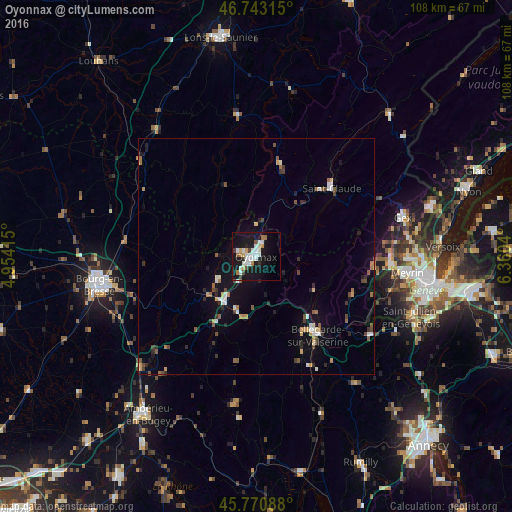
Analysis of Oyonnax night lights 2016
Square area 10x10 km:
 5.65%
5.65%90-99
7.44%80-89
1.93%70-79
1.93%60-69
2.53%50-59
1.34%40-49
1.79%30-39
1.49%20-29
2.08%10-19
37.8%0-9
36.01%Square area 50x50 km:
0.53%90-99
0.73%80-89
0.32%70-79
0.46%60-69
0.52%50-59
0.68%40-49
0.61%30-39
0.55%20-29
0.72%10-19
3.96%0-9
90.94%Clear (daylight) street map image can be seen on geolist.org.
Map coordinates:
46° 44' 35.3" North, 4° 57' 14.9" East
46° 15' 33" North, 5° 39' 26.2" East
45° 46' 15.2" North, 6° 21' 37.4" East
Some cities around Oyonnax sort by population:
• Vernier, CH
33.2 km =20.6 mi,  98°
98°
• Meyrin, CH
32.6 km =20.3 mi,  94°
94°
• Valfin-lès-Saint-Claude
25 km =15.5 mi,  37°
37°
• Saint-Claude
21.3 km =13.2 mi,  48°
48°
• Bellegarde-sur-Valserine
21.2 km =13.2 mi,  142°
142°
• Bernex, CH
33.5 km =20.8 mi,  105°
105°
• Gex
31.8 km =19.8 mi,  75°
75°
• Saint-Genis-Pouilly
28 km =17.4 mi, 93°
2988888 (p: 25,697)
Sources (retrieved 2019-11-25):
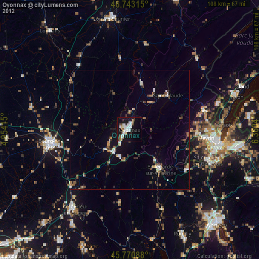
» Earth at Night: Flat Maps 2012, 2016