Agde night lights from space
Night Light of Agde (Occitanie) from space (France) Src. Average luminocity for 10x10km area is 42.5409% and for 50x50km: 13.929%.
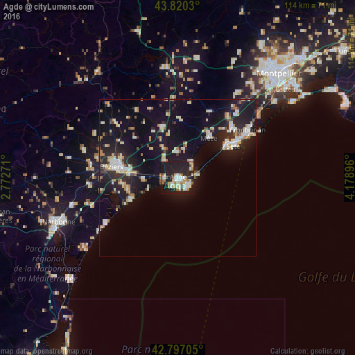
Analysis of Agde night lights 2016
Square area 10x10 km:
 6.97%
6.97%90-99
11.67%80-89
3.79%70-79
5.76%60-69
5.91%50-59
2.12%40-49
2.58%30-39
1.52%20-29
18.79%10-19
40%0-9
0.91%Square area 50x50 km:
1.63%90-99
3.12%80-89
1.7%70-79
1.3%60-69
1.4%50-59
0.73%40-49
1.04%30-39
1.04%20-29
5.12%10-19
15.1%0-9
67.84%Clear (daylight) street map image can be seen on geolist.org.
Map coordinates:
43° 49' 13.1" North, 2° 46' 21.8" East
43° 18' 39" North, 3° 28' 33" East
42° 47' 49.4" North, 4° 10' 44.3" East
Some cities around Agde sort by population:
• Béziers
21.4 km =13.3 mi,  279°
279°
• Sète
20.3 km =12.6 mi,  59°
59°
• Frontignan
27.2 km =16.9 mi, 55°
• Pézenas
17.1 km =10.6 mi,  345°
345°
• Mèze
16.5 km =10.3 mi,  39°
39°
• Marseillan
6.6 km =4.1 mi, 39°
• Sérignan
16.5 km =10.3 mi,  257°
257°
• Balaruc-les-Bains
21.9 km =13.6 mi,  48°
48°
3038638 (p: 23,001)
Sources (retrieved 2019-11-25):
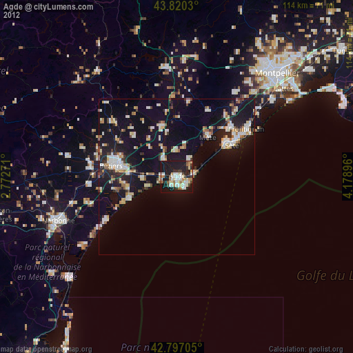
» Earth at Night: Flat Maps 2012, 2016