Sète night lights from space
Night Light of Sète (Occitanie) from space (France) Src. Average luminocity for 10x10km area is 38.9508% and for 50x50km: 16.099%.
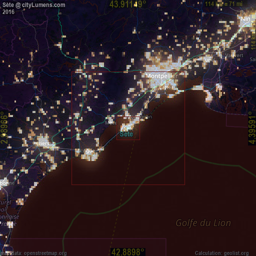
Analysis of Sète night lights 2016
Square area 10x10 km:
 9.68%
9.68%90-99
10.16%80-89
3.02%70-79
5.24%60-69
1.9%50-59
0.16%40-49
1.59%30-39
3.97%20-29
16.83%10-19
32.06%0-9
15.4%Square area 50x50 km:
2.98%90-99
3.72%80-89
1.53%70-79
1.47%60-69
1.62%50-59
1.21%40-49
1.08%30-39
1.72%20-29
4.89%10-19
14.92%0-9
64.86%Clear (daylight) street map image can be seen on geolist.org.
Map coordinates:
43° 54' 41.4" North, 2° 59' 22.8" East
43° 24' 10.1" North, 3° 41' 34" East
42° 53' 23.3" North, 4° 23' 45.3" East
Some cities around Sète sort by population:
• Agde
20.3 km =12.6 mi,  239°
239°
• Frontignan
7.1 km =4.4 mi,  44°
44°
• Mèze
7.4 km =4.6 mi,  289°
289°
• Villeneuve-lès-Maguelone
20.2 km =12.6 mi, 44°
• Marseillan
14.3 km =8.9 mi,  248°
248°
• Fabrègues
17.8 km =11.1 mi,  22°
22°
• Balaruc-les-Bains
4.5 km =2.8 mi,  344°
344°
• Cournonterral
17.5 km =10.9 mi,  7°
7°
2974733 (p: 40,736)
Sources (retrieved 2019-11-25):
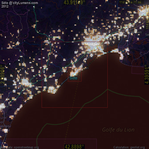
» Earth at Night: Flat Maps 2012, 2016