Mäntyharju night lights from space
Night Light of Mäntyharju (South Savo) from space (Finland) Src. Average luminocity for 10x10km area is 9.9586% and for 50x50km: 1.4506%.
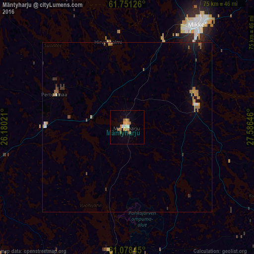
Analysis of Mäntyharju night lights 2016
Square area 10x10 km:
 0.41%
0.41%90-99
1.66%80-89
0.41%70-79
3.31%60-69
1.97%50-59
2.59%40-49
0%30-39
0%20-29
0%10-19
2.17%0-9
87.47%Square area 50x50 km:
0.06%90-99
0.16%80-89
0.05%70-79
0.31%60-69
0.38%50-59
0.31%40-49
0.08%30-39
0.25%20-29
0.07%10-19
0.65%0-9
97.69%Clear (daylight) street map image can be seen on geolist.org.
Map coordinates:
61° 45' 4.5" North, 26° 10' 48.8" East
61° 25' 0" North, 26° 52' 60" East
61° 4' 42.4" North, 27° 35' 11.3" East
Some cities around Mäntyharju sort by population:
• Mikkeli
36.6 km =22.7 mi,  34°
34°
• Kouvola
61.9 km =38.5 mi,  189°
189°
• Heinola
50.9 km =31.6 mi,  242°
242°
• Nastola
72.7 km =45.2 mi,  224°
224°
• Iitti
65 km =40.4 mi,  206°
206°
• Kangasniemi
65.3 km =40.6 mi,  349°
349°
• Luumäki
66.1 km =41.1 mi,  145°
145°
• Ristiina
21.7 km =13.5 mi,  62°
62°
646699 (p: 6,871)
Sources (retrieved 2019-11-25):
» Earth at Night: Flat Maps 2012, 2016