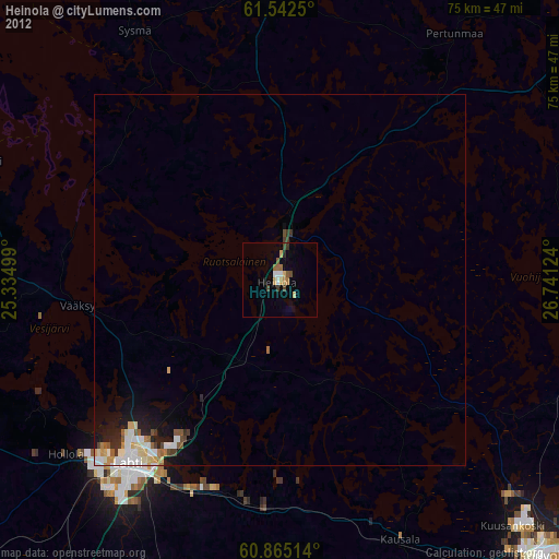
Heinola night lights from space
Night Light of Heinola (Päijänne Tavastia) from space (Finland) Src. Average luminocity for 10x10km area is 36.2457% and for 50x50km: 7.1981%.
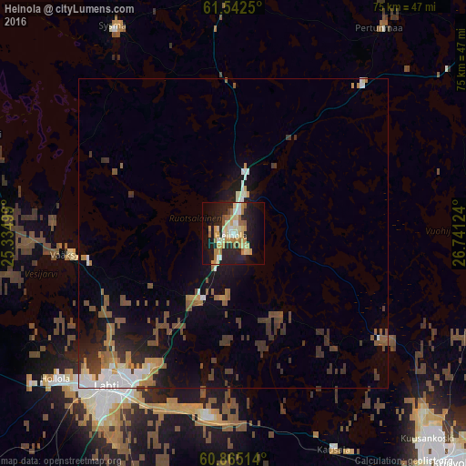
Analysis of Heinola night lights 2016
Square area 10x10 km:
 2.27%
2.27%90-99
8.33%80-89
7.9%70-79
7.03%60-69
6.39%50-59
2.16%40-49
1.19%30-39
0.11%20-29
14.07%10-19
26.84%0-9
23.7%Square area 50x50 km:
0.84%90-99
1.17%80-89
0.59%70-79
0.8%60-69
1.03%50-59
1.19%40-49
1.06%30-39
1.6%20-29
1.63%10-19
4.67%0-9
85.42%Clear (daylight) street map image can be seen on geolist.org.
Map coordinates:
61° 32' 33" North, 25° 20' 6" East
61° 12' 20.3" North, 26° 2' 17.2" East
60° 51' 54.5" North, 26° 44' 28.5" East
Some cities around Heinola sort by population:
• Lahti
32 km =19.9 mi,  219°
219°
• Kouvola
51.9 km =32.2 mi,  136°
136°
• Hollola
36.8 km =22.9 mi,  241°
241°
• Nastola
29 km =18 mi,  191°
191°
• Orimattila
47.6 km =29.6 mi,  200°
200°
• Asikkala
28.8 km =17.9 mi,  272°
272°
• Iitti
38.2 km =23.7 mi,  154°
154°
• Mäntyharju
50.9 km =31.6 mi,  62°
62°
658288 (p: 20,849)
Sources (retrieved 2019-11-25):
» Earth at Night: Flat Maps 2012, 2016