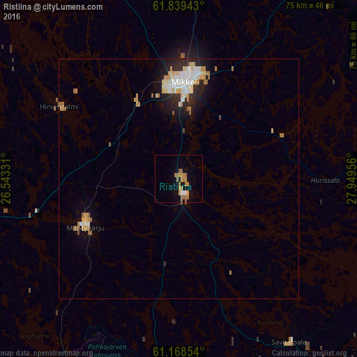
Ristiina night lights from space
Night Light of Ristiina (South Savo) from space (Finland) Src. Average luminocity for 10x10km area is 10.4306% and for 50x50km: 3.5175%.
Analysis of Ristiina night lights 2016
Square area 10x10 km:
 0.31%
0.31%90-99
0.93%80-89
0.52%70-79
3.62%60-69
5.38%50-59
0.41%40-49
0%30-39
0%20-29
0%10-19
3.42%0-9
85.4%Square area 50x50 km:
0.56%90-99
0.71%80-89
0.45%70-79
0.62%60-69
0.64%50-59
0.23%40-49
0.03%30-39
0.17%20-29
0.92%10-19
1.64%0-9
94.02%Clear (daylight) street map image can be seen on geolist.org.
Map coordinates:
61° 50' 21.9" North, 26° 32' 35.9" East
61° 30' 20.8" North, 27° 14' 47.1" East
61° 10' 6.7" North, 27° 56' 58.4" East
Some cities around Ristiina sort by population:
• Lappeenranta
70.7 km =43.9 mi,  134°
134°
• Mikkeli
20.4 km =12.7 mi,  3°
3°
• Kouvola
76.9 km =47.8 mi,  202°
202°
• Heinola
72.5 km =45 mi,  242°
242°
• Juva
54.2 km =33.7 mi,  35°
35°
• Mäntyharju
21.7 km =13.5 mi, 242°
• Kangasniemi
62.7 km =39 mi,  329°
329°
• Luumäki
66.9 km =41.6 mi,  164°
164°
639248 (p: 5,171)
Sources (retrieved 2019-11-25):
» Earth at Night: Flat Maps 2012, 2016