Luumäki night lights from space
Night Light of Luumäki (South Karelia) from space (Finland) Src. Average luminocity for 10x10km area is 7.5455% and for 50x50km: 2.5583%.
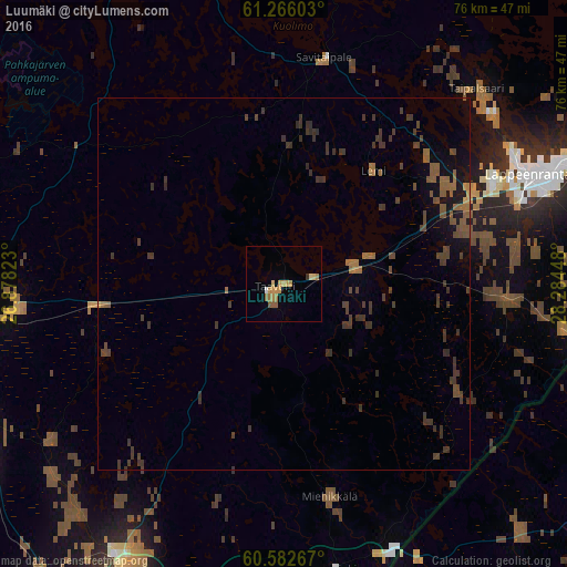
Analysis of Luumäki night lights 2016
Square area 10x10 km:
 0.1%
0.1%90-99
0.31%80-89
1.24%70-79
3.1%60-69
1.86%50-59
1.65%40-49
0%30-39
0.41%20-29
0%10-19
0%0-9
91.32%Square area 50x50 km:
0%90-99
0.01%80-89
0.06%70-79
0.21%60-69
0.51%50-59
0.73%40-49
0.9%30-39
1.71%20-29
0.22%10-19
0.93%0-9
94.71%Clear (daylight) street map image can be seen on geolist.org.
Map coordinates:
61° 15' 57.7" North, 26° 52' 41.6" East
60° 55' 34.2" North, 27° 34' 52.9" East
60° 34' 57.6" North, 28° 17' 4.1" East
Some cities around Luumäki sort by population:
• Lappeenranta
35.9 km =22.3 mi,  65°
65°
• Kotka
61.7 km =38.3 mi,  214°
214°
• Kouvola
48.1 km =29.9 mi,  262°
262°
• Karhula
57.2 km =35.5 mi,  218°
218°
• Hamina
44.8 km =27.8 mi, 207°
• Anjala
48.7 km =30.3 mi,  236°
236°
• Joutseno
54.3 km =33.7 mi, 66°
• Elimäki
64.8 km =40.3 mi,  248°
248°
647288 (p: 5,305)
Sources (retrieved 2019-11-25):
» Earth at Night: Flat Maps 2012, 2016