Kangasniemi night lights from space
Night Light of Kangasniemi (South Savo) from space (Finland) Src. Average luminocity for 10x10km area is 6.5415% and for 50x50km: 0.351%.
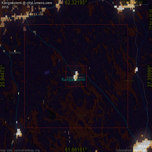
Analysis of Kangasniemi night lights 2016
Square area 10x10 km:
 1.28%
1.28%90-99
1.48%80-89
0.4%70-79
0.89%60-69
1.88%50-59
0%40-49
0%30-39
0%20-29
0%10-19
0%0-9
94.07%Square area 50x50 km:
0.05%90-99
0.06%80-89
0.02%70-79
0.04%60-69
0.08%50-59
0%40-49
0%30-39
0.14%20-29
0.03%10-19
0.03%0-9
99.55%Clear (daylight) street map image can be seen on geolist.org.
Map coordinates:
62° 19' 19" North, 25° 56' 41" East
61° 59' 36.9" North, 26° 38' 52.3" East
61° 39' 41.8" North, 27° 21' 3.5" East
Some cities around Kangasniemi sort by population:
• Jyväskylä
55.5 km =34.5 mi,  299°
299°
• Mikkeli
47.2 km =29.3 mi,  135°
135°
• Laukaa
59.1 km =36.7 mi,  322°
322°
• Pieksämäki
42.4 km =26.3 mi,  36°
36°
• Muurame
53.4 km =33.2 mi,  286°
286°
• Hankasalmi
44.7 km =27.8 mi,  345°
345°
• Ristiina
62.7 km =39 mi,  149°
149°
• Korpilahti
57.4 km =35.7 mi,  272°
272°
654405 (p: 6,211)
Sources (retrieved 2019-11-25):
» Earth at Night: Flat Maps 2012, 2016